Upcoming Spaceflight Launches
Filter by Agency, Locations or Vehicles
Show All Launches
Falcon 9 Block 5 | Chinggis Sat
SpaceX | United States of AmericaCape Canaveral SFS, FL, USA
TBD December, 2027
Status: To Be Determined
Mission:
Chinggis Sat is a Mongolian national geostationary orbit telecommunications satellite for the Mongolia Ministry of Digital Development and Communications. Thales Alenia Space will be responsible for construction of the high-performance Ku-Band satellite. Once launched, the satellite will make high-speed internet available throughout Mongolia, including to those in rural areas and under-served nomadic communities, enabling easier and wider access to services such as tele-medicine, e-learning, e-government services and supporting the growth of high value add sectors of the economy. It will be positioned at the 113.6° E orbital slot and will be based on the space-proven, cutting-edge SpaceBus 4000 satellite bus.
Geostationary Transfer OrbitFalcon 9 Block 5 | JSAT-32
SpaceX | United States of AmericaCape Canaveral SFS, FL, USA
TBD December, 2027
Status: To Be Determined
Mission:
JSAT-32 is a geostationary communication satellite for SKY Perfect JSAT. Operating in the Ku and Ka frequency bands, JSAT-32 will provide coverage over Japan and its surrounding seas, with newly added spot beams for mobility applications. JSAT-32 will serve as a future replacement for existing SKY Perfect JSAT satellites that provide communication and distribution services in Japan.
Geostationary Transfer OrbitFalcon 9 Block 5 | Telesat Lightspeed 13
SpaceX | United States of AmericaCape Canaveral SFS, FL, USA
TBD December, 2027
Falcon 9 Block 5 | Nova-C IM-4 & 2 Lunar Data Relay Satellites
SpaceX | United States of AmericaCape Canaveral SFS, FL, USA
TBD December, 2027
Falcon 9 Block 5 | Telesat Lightspeed 12
SpaceX | United States of AmericaCape Canaveral SFS, FL, USA
TBD December, 2027
Falcon 9 Block 5 | TSIS-2
SpaceX | United States of AmericaCape Canaveral SFS, FL, USA
TBD December, 2027
Status: To Be Determined
Mission:
The Total and Spectral Solar Irradiance Sensor 2 (TSIS-2) is a satellite designed by NASA to measure the Sun's energy input to Earth. TSIS-2 comprises two instruments, the Total Irradiance Monitor (TIM), and the spectral Irradiance Monitor (SIM). TIM measures total brightness and SIM measures spectral irradiance over a wavelength range that includes 96% of the energy in the solar spectrum. Both instruments are similar to those used for the TSIS-1 mission onboard the International Space Station.
Sun-Synchronous OrbitFalcon 9 Block 5 | Thor 8
SpaceX | United States of AmericaCape Canaveral SFS, FL, USA
TBD December, 2027
Status: To Be Determined
Mission:
Thor 8 is a multi-purpose communications satellite for Space Norway. The satellite will both replace older satellites being phased out in the coming years and provide increased capacity and service offerings that offers capacity for both data services and broadcasting, such as high power direct-to-home (DTH) television services, from the 1° West orbital position. It carries two dedicated payloads for broadcasting in Europe and the Nordics, as well as payloads for data services to commercial and governmental customers. With a launch mass of 4 metric tons, the satellite will be built on Thales Alenia Space’s Spacebus-4000B2 platform and will operate in the Ka and Ku frequency bands.
Geostationary Transfer Orbit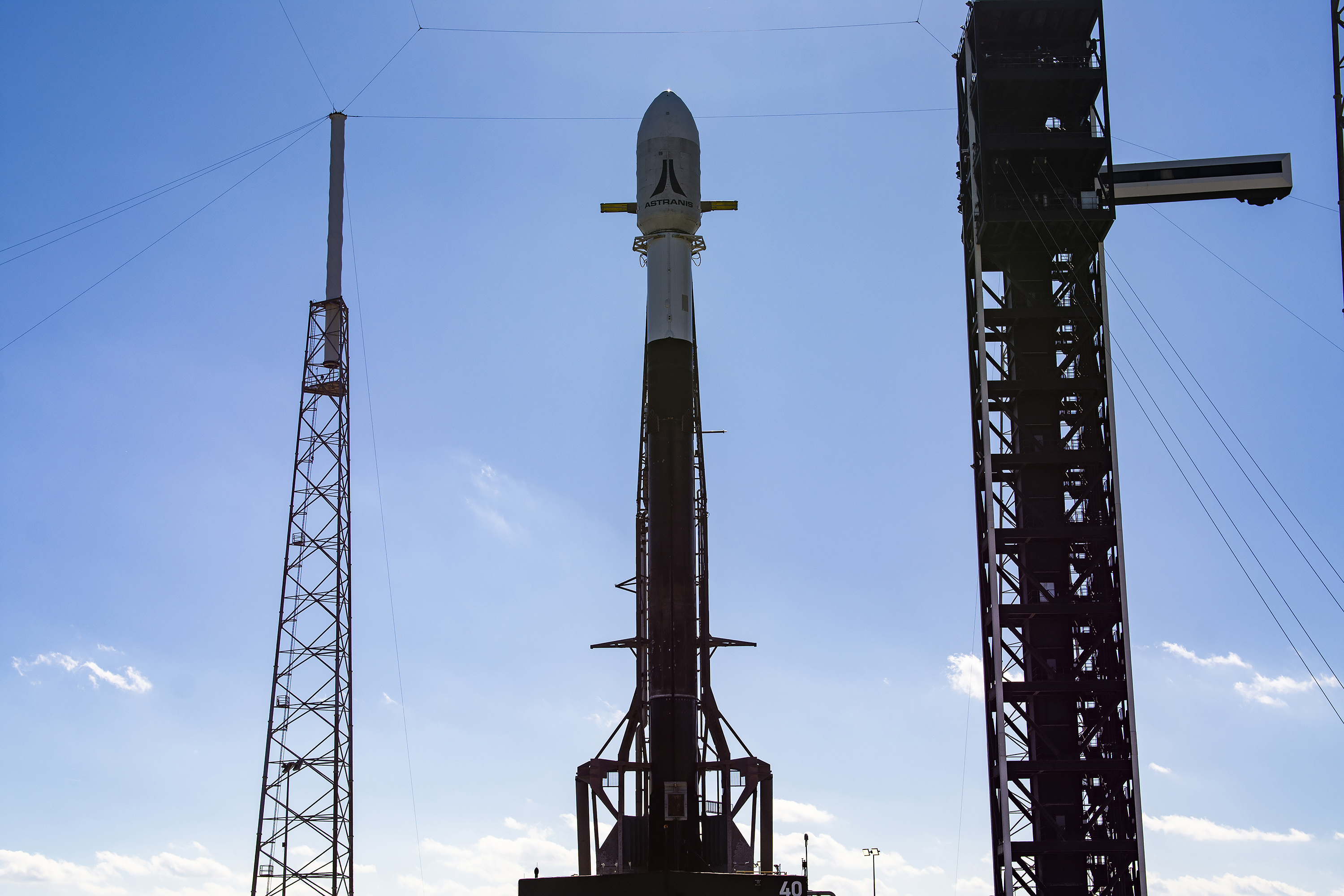
Falcon 9 Block 5 | 6x Astranis MicroGEO
SpaceX | United States of AmericaCape Canaveral SFS, FL, USA
TBD December, 2027
Status: To Be Determined
Mission:
Six Astranis MicroGEO communications satellite to be inserted into Low Earth orbit by the Falcon 9, from where the Helios upper stage provided by Impulse Space will carry the satellites to geostationary orbit within 24 hours of launch.
Geostationary OrbitFalcon 9 Block 5 | Skynet 6A
SpaceX | United States of AmericaCape Canaveral SFS, FL, USA
TBD December, 2027
Status: To Be Determined
Mission:
The Skynet 6A gap-filler military communications satellite built by Airbus Defence and Space to cover the gap between the Britisch Skynet-5 network and its successor. Skynet 6A was solesourced from Airbus Defence and Space in 2017, but was not fully funded until July 2020. Aibus will build the Skynet-6A satellite in the United Kingdom and arrange a 2025 launch. RAL Space, a U.K. national laboratory, will test the all-electric satellite at its facility in Harwell. Skynet-6A, based on the Eurostar-Neo platform, is expected to provide communications services for the British military until at least 2040.
Geostationary Transfer OrbitFalcon 9 Block 5 | Telesat Lightspeed 14
SpaceX | United States of AmericaCape Canaveral SFS, FL, USA
TBD December, 2027
Falcon 9
Starlink Group 10-48
Space Launch Complex 40 - Cape Canaveral SFS, FL, USAA batch of 29 satellites for the Starlink mega-constellation - SpaceX's project for space-based Internet communication system.
Falcon 9
Starlink Group 17-31
Space Launch Complex 4E - Vandenberg SFB, CA, USAA batch of 25 satellites for the Starlink mega-constellation - SpaceX's project for space-based Internet communication system.
Long March 2D
Shiyan 30 03-04
Launch Complex 3 (LC-3/LA-1) - Xichang Satellite Launch Center, People's Republic of ChinaA pair of Chinese satellites reported to be for "Earth observation technological testing and validation" purposes. Actual usage not known.
Long March 8A
SatNet LEO Group 20
Commercial LC-1 - Wenchang Space Launch Site, People's Republic of ChinaA batch of 9 Low Earth Orbit communication satellites for the Chinese state owned SatNet constellation operated by the China Satellite Network Group.…
Firefly Alpha
Stairway to Seven
Space Launch Complex 2W - Vandenberg SFB, CA, USAFirefly Alpha's Flight 7 is a test flight and return-To-Flight for the launch vehicle after its April 2025 launch failure. It will test and validate …
Falcon 9
EchoStar 25
Space Launch Complex 40 - Cape Canaveral SFS, FL, USAEchoStar 25 is a direct broadcast satellite, built on the proven Maxar 1300 series platform, which will deliver content across North America. It will…
Falcon 9
Starlink Group 17-18
Space Launch Complex 4E - Vandenberg SFB, CA, USAA batch of 25 satellites for the Starlink mega-constellation - SpaceX's project for space-based Internet communication system.
Electron
Insight At Speed Is A Friend Indeed (BlackSky Gen-3 4)
Rocket Lab Launch Complex 1A - Rocket Lab Launch Complex 1, Mahia Peninsula, New ZealandNote: Payload and customer identities were not publicly announced. 4th of the BlackSky Gen-3 high resolution Earth-imaging satellites.
KAIROS
Flight 3
Space One Launch Pad - Spaceport Kii, JapanThird flight of the KAIROS launch vehicle. 5 satellites will be on board: * TATARA-1R * SC-Sat1a * HErO * AETS-1 * Nutsat-3 (TASA/Taiwan)
Falcon 9
Starlink Group 10-40
Space Launch Complex 40 - Cape Canaveral SFS, FL, USAA batch of 29 satellites for the Starlink mega-constellation - SpaceX's project for space-based Internet communication system.

