Previous Spaceflight Launches
Filter by Agency, Locations or Vehicles
Show All Launches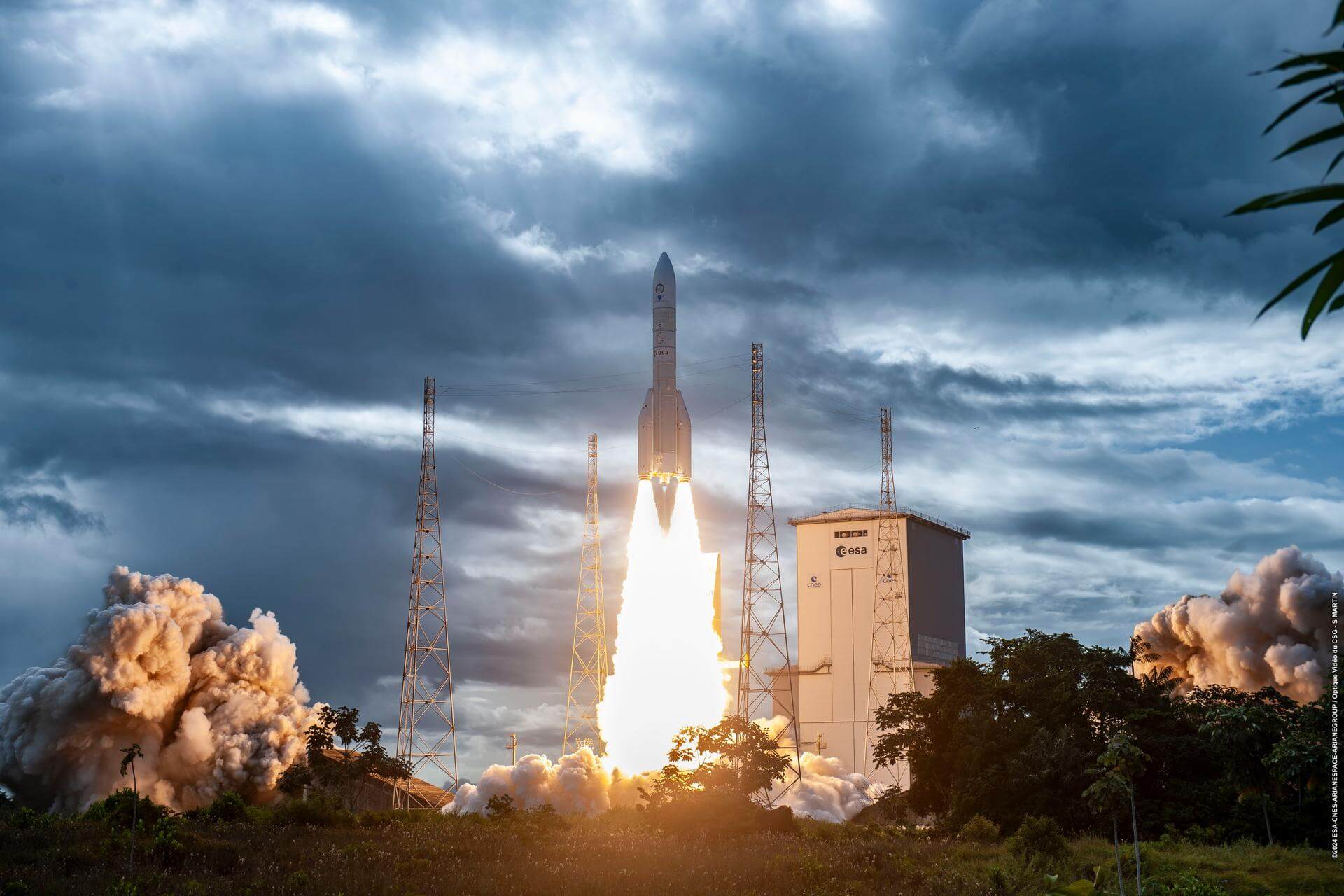
Ariane 62 | Sentinel-1D
ArianeGroup | FranceGuiana Space Centre, French Guiana
Nov. 4, 2025, 9:02 p.m.
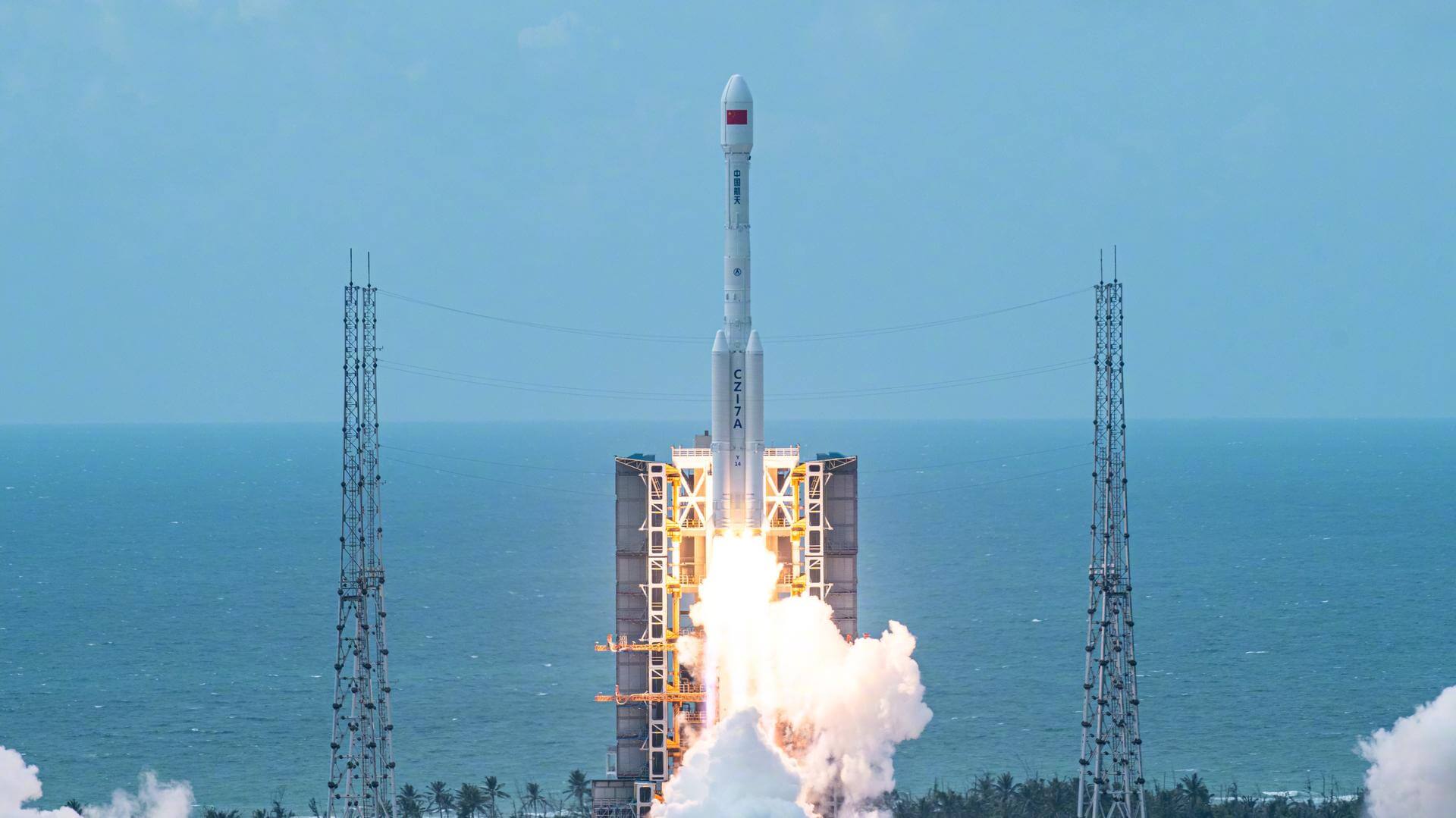
Long March 7A | Yaogan 46
China Aerospace Science and Technology Corporation | ChinaWenchang Space Launch Site, People's Republic of China
Nov. 3, 2025, 3:47 a.m.
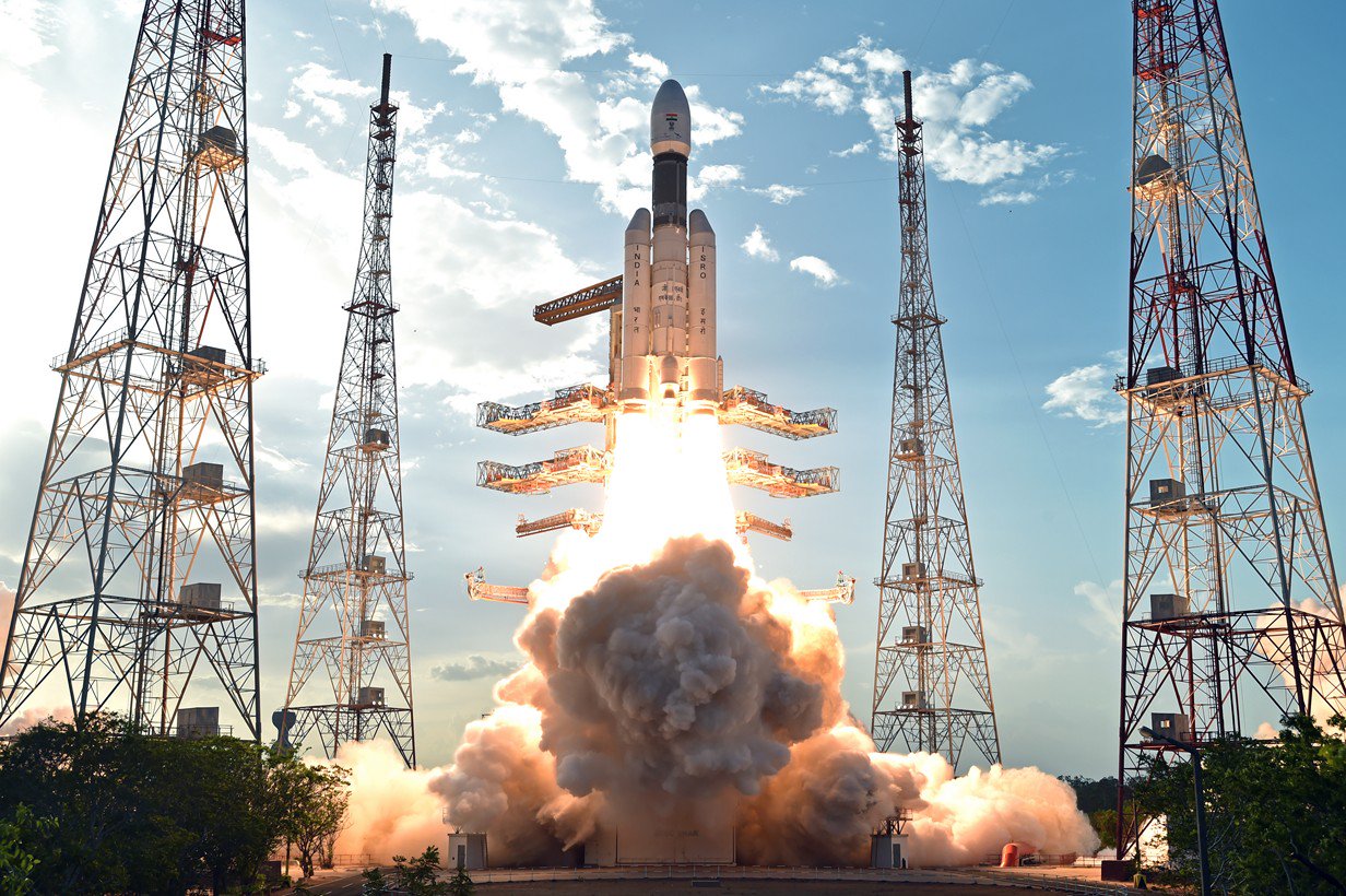
LVM-3 | CMS-03 (GSAT-7R)
Indian Space Research Organization | IndiaSatish Dhawan Space Centre, India
Nov. 2, 2025, 11:56 a.m.
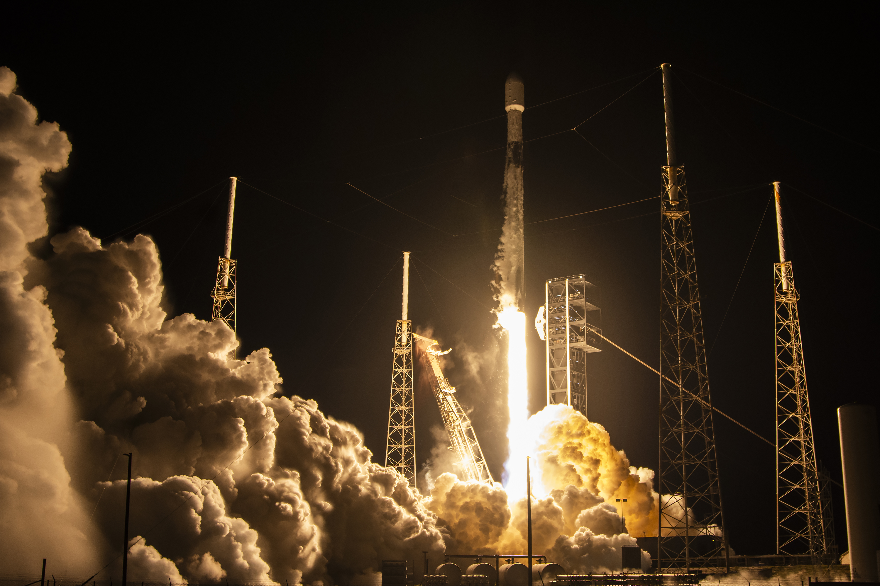
Falcon 9 Block 5 | Bandwagon 4 (Dedicated Mid-Inclination Rideshare)
SpaceX | United States of AmericaCape Canaveral SFS, FL, USA
Nov. 2, 2025, 5:09 a.m.

Falcon 9 Block 5 | Starlink Group 11-23
SpaceX | United States of AmericaVandenberg SFB, CA, USA
Oct. 31, 2025, 8:41 p.m.
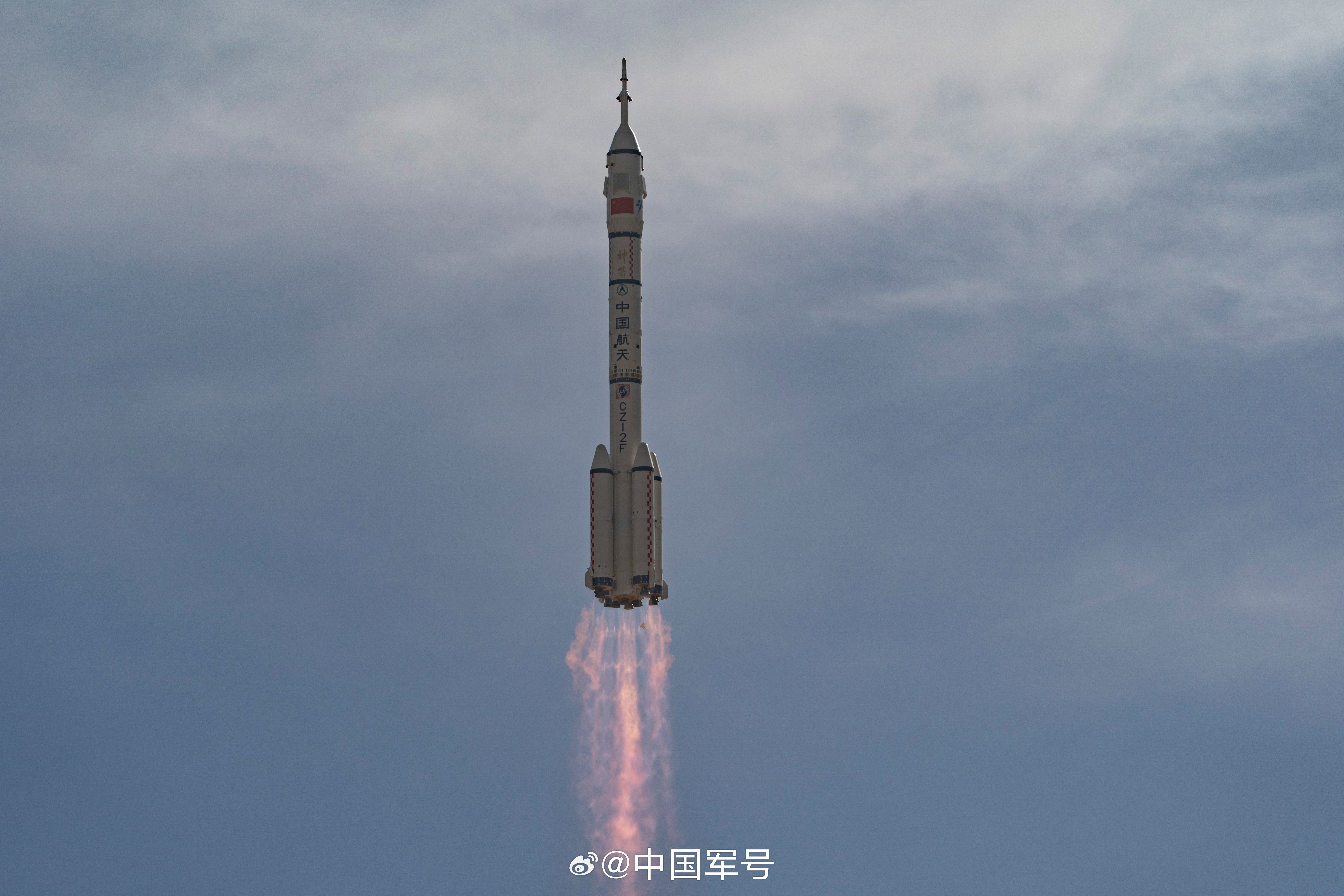
Long March 2F/G | Shenzhou 21
China Aerospace Science and Technology Corporation | ChinaJiuquan Satellite Launch Center, People's Republic of China
Oct. 31, 2025, 3:44 p.m.
Falcon 9 Block 5 | Starlink Group 10-37
SpaceX | United States of AmericaCape Canaveral SFS, FL, USA
Oct. 29, 2025, 4:35 p.m.
Falcon 9 Block 5 | Starlink Group 11-21
SpaceX | United States of AmericaVandenberg SFB, CA, USA
Oct. 28, 2025, 12:43 a.m.
Falcon 9 Block 5 | Starlink Group 10-21
SpaceX | United States of AmericaCape Canaveral SFS, FL, USA
Oct. 26, 2025, 3 p.m.
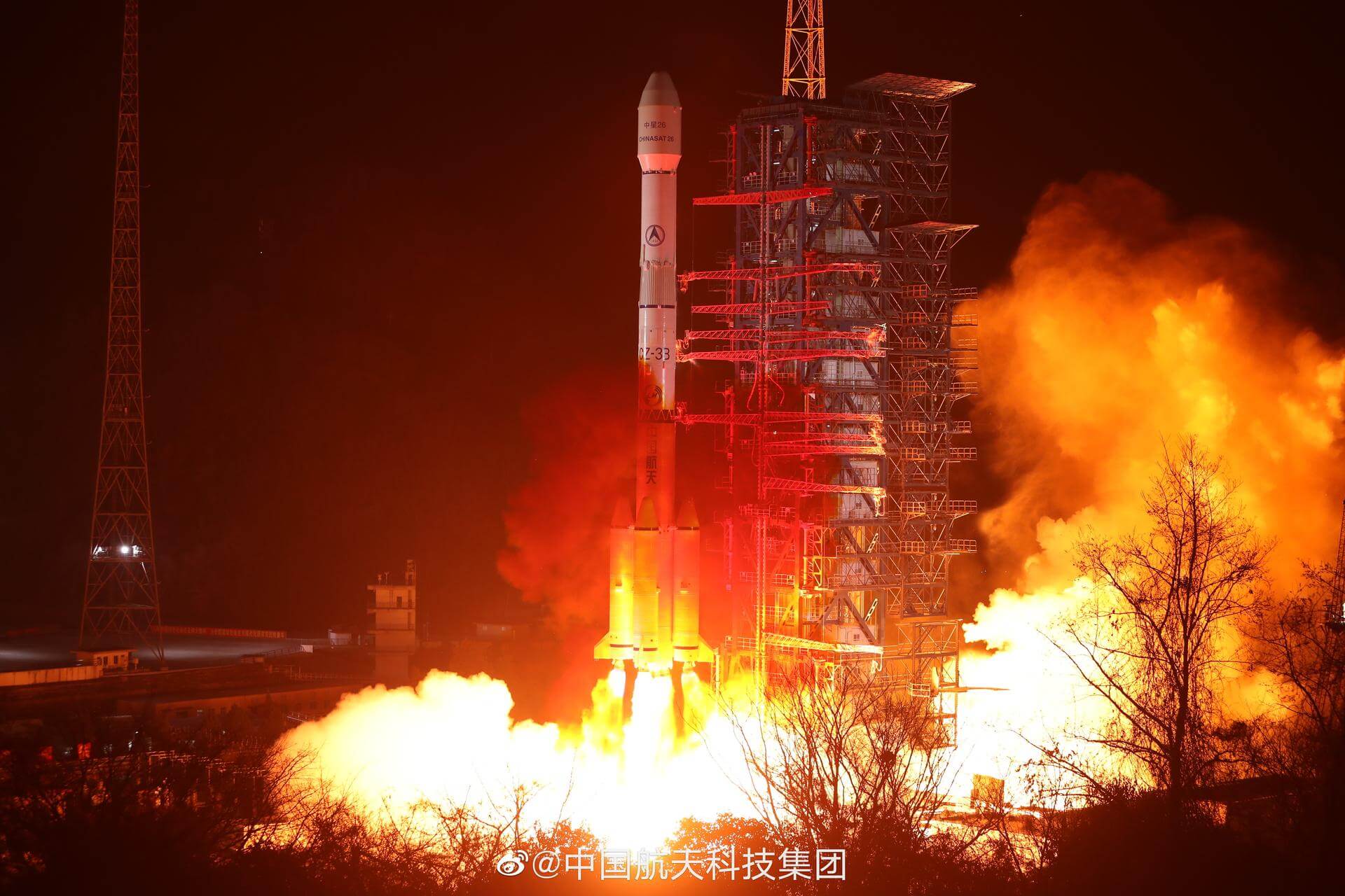
Long March 3B/E | Gaofen-14 02
China Aerospace Science and Technology Corporation | ChinaXichang Satellite Launch Center, People's Republic of China
Oct. 26, 2025, 3:55 a.m.
Status: Launch Successful
Mission:
Gaofen is a series of civilian Earth observation satellites developed and launched for the China High-definition Earth Observation System (CHEOS), a state-sponsored programme aimed to develop a near-real time, all-weather, global surveillance network consisting of satellite, near-space (stratosphere) airships, and aerial observation platforms.
Sun-Synchronous Orbit
