Previous Spaceflight Launches
Filter by Agency, Locations or Vehicles
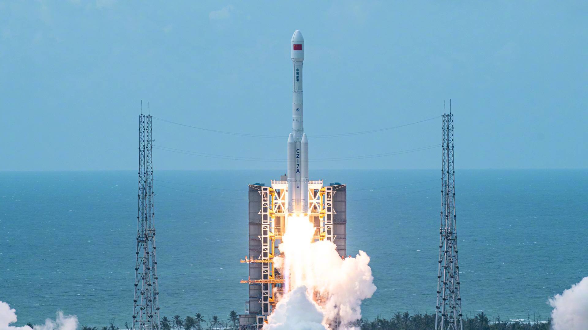
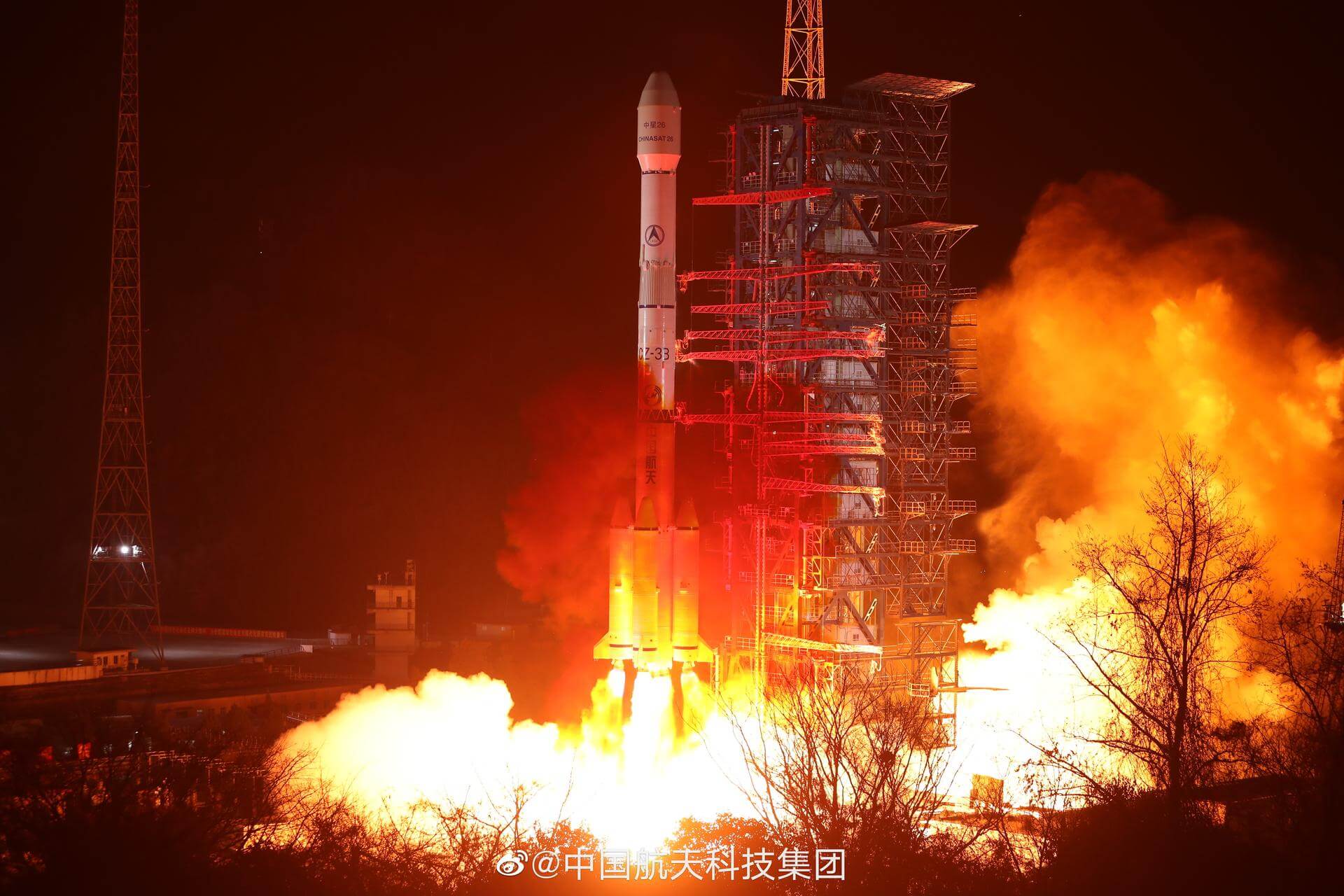
Show All LaunchesLong March 7A | Shiyan 12-01 & 02
China Aerospace Science and Technology Corporation | ChinaWenchang Space Launch Site, People's Republic of China
Dec. 23, 2021, 10:12 a.m.
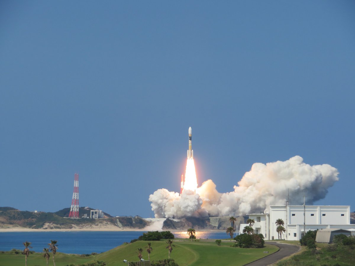
H-IIA 204 | Inmarsat-6 F1
Mitsubishi Heavy Industries | JapanTanegashima Space Center, Japan
Dec. 22, 2021, 3:32 p.m.
Status: Launch Successful
Mission:
Inmarsat-6 is the sixth generation of satellites for the London-based global mobile satellite communications operator Inmarsat. It consists of a dual mission to augment both L-band and Ka-band Global Xpress services. Airbus Defence and Space has been awarded a contract by Inmarsat to design and develop the first two Inmarsat-6 (I-6) mobile communications satellites, creating the most versatile mobile services satellites in its fleet. The two I-6 satellites are based on Airbus Defence and Space's Eurostar platform in its E3000e variant, which exclusively uses electric propulsion for orbit raising. The satellites take advantage of the reduction in mass that this electric propulsion technology enables for a dual payload mission, with an exceptionally large next generation digitally processed payload. I-6 F1 and F2 both carry a large 9 m aperture L-band antenna and nine multibeam Ka-band antennas, and feature a high level of flexibility and connectivity. A new generation modular digital processor provides full routing flexibility over up to 8000 channels and dynamic power allocation to over 200 spot beams in L-band. Ka-band spot beams are steerable over the full Earth disk, with flexible channel to beam allocation.
Geostationary Transfer OrbitFalcon 9 Block 5 | Dragon CRS-2 SpX-24
SpaceX | United States of AmericaKennedy Space Center, FL, USA
Dec. 21, 2021, 10:07 a.m.
Status: Launch Successful
Mission:
24th commercial resupply services mission to the International Space Station operated by SpaceX. The flight will be conducted under the second Commercial Resupply Services contract with NASA. Cargo Dragon 2 brings supplies and payloads, including critical materials to directly support science and research investigations that occur onboard the orbiting laboratory.
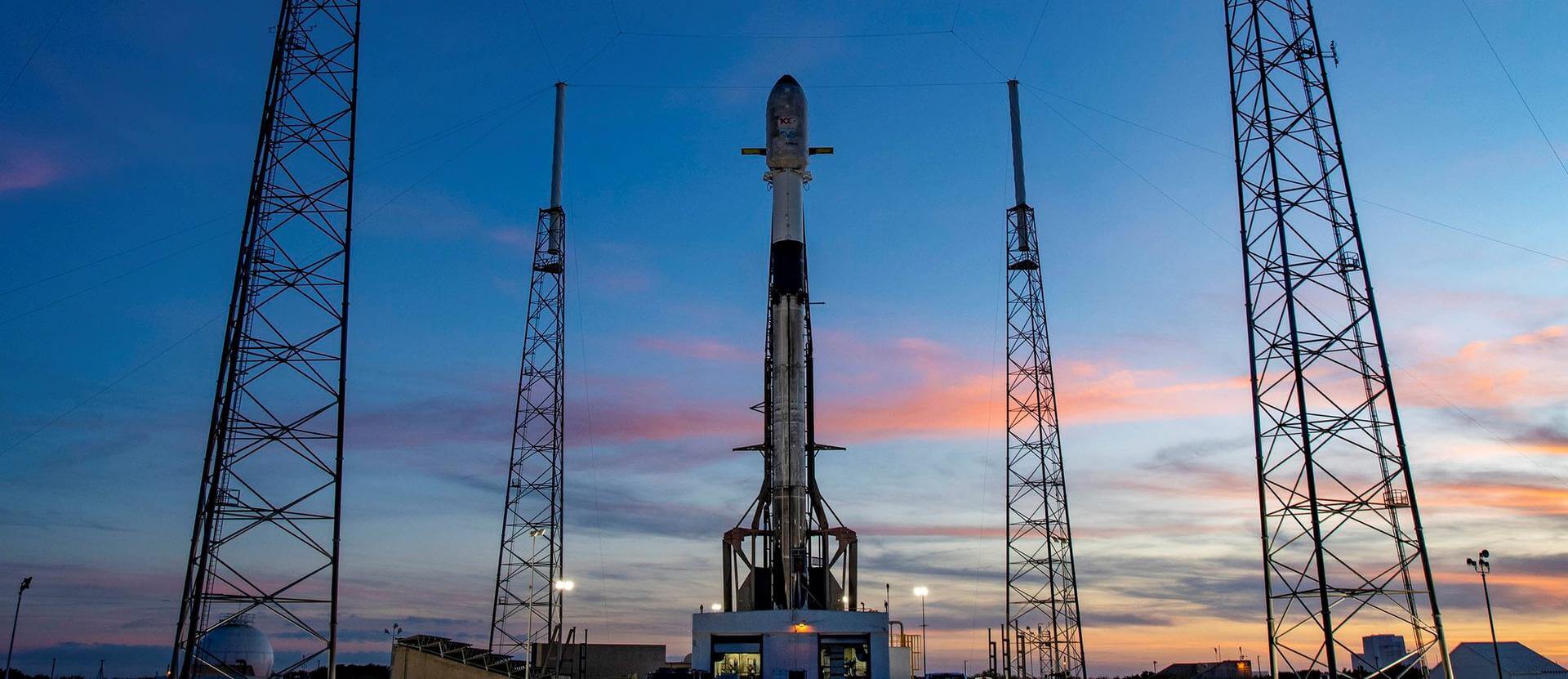
Low Earth Orbit B1069 - Maiden Flight Just Read the InstructionsFalcon 9 Block 5 | Türksat 5B
SpaceX | United States of AmericaCape Canaveral SFS, FL, USA
Dec. 19, 2021, 3:58 a.m.
Status: Launch Successful
Mission:
Türksat 5B is a geostationary communications satellite. It is tasked with providing broadband telecommunication services to customers across Turkey, the Middle East and large regions of Africa.
Geostationary Transfer Orbit B1067 - Flight Proven ( ) A Shortfall of GravitasFalcon 9 Block 5 | Starlink Group 4-4
SpaceX | United States of AmericaVandenberg SFB, CA, USA
Dec. 18, 2021, 12:41 p.m.
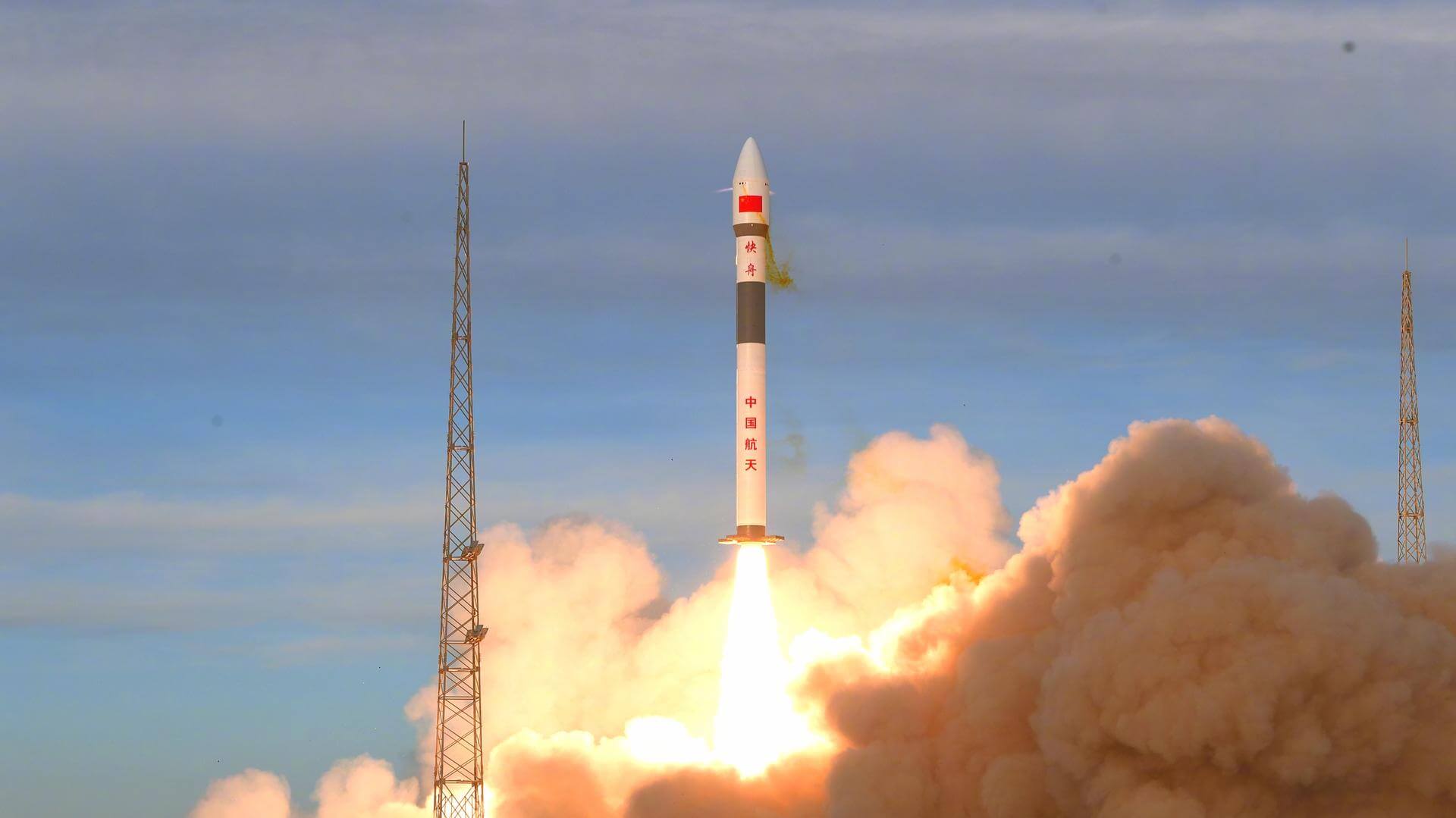
Kuaizhou 1A | GeeSat x2
ExPace | ChinaJiuquan Satellite Launch Center, People's Republic of China
Dec. 15, 2021, 2 a.m.
Long March 3B | Tianlian 2-02
China Aerospace Science and Technology Corporation | ChinaXichang Satellite Launch Center, People's Republic of China
Dec. 13, 2021, 4:09 p.m.
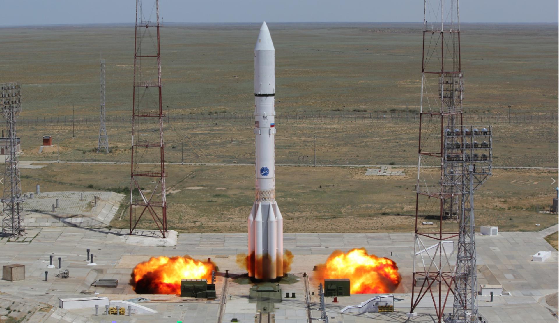
Proton-M/Briz-M | Ekspress-AMU3 & AMU7
Khrunichev State Research and Production Space Center | RussiaBaikonur Cosmodrome, Republic of Kazakhstan
Dec. 13, 2021, 12:07 p.m.
Status: Launch Successful
Mission:
The Ekspress-AMU 3 and Ekspress-AMU 7 are two communications satellite for russian domestic communication services. While the spacecraft themselves are built by russian RSCC (Kosmicheskiya Svyaz), the communication payloads are built by Thales Alenia Space. Both satellites are based on the Ekspress-1000 bus and feature 16 Ku-, 1 L- and 20 C-band transponders. They will be located at 96.5° and 145° East respectively.
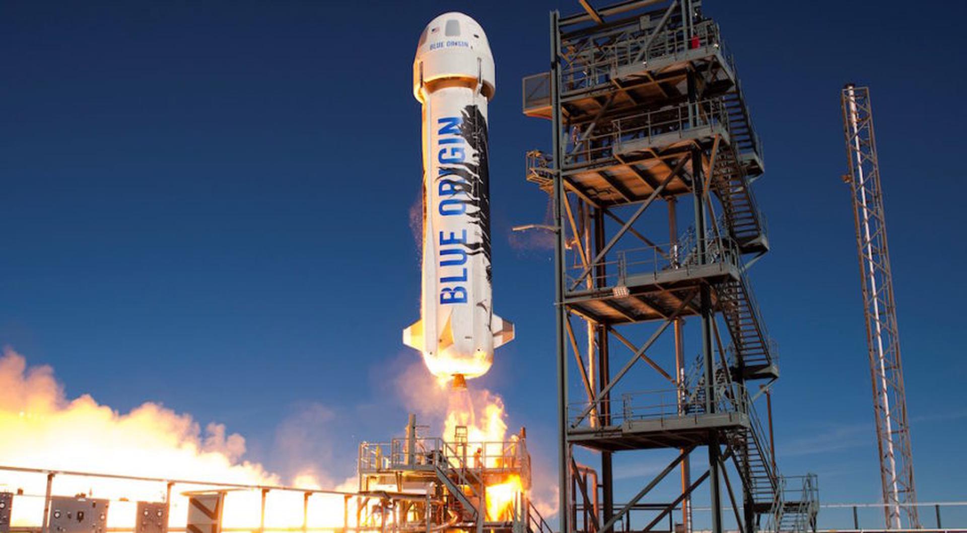
Geostationary Transfer OrbitNew Shepard | NS-19
Blue Origin | United States of AmericaCorn Ranch, Van Horn, TX, USA
Dec. 11, 2021, 3 p.m.
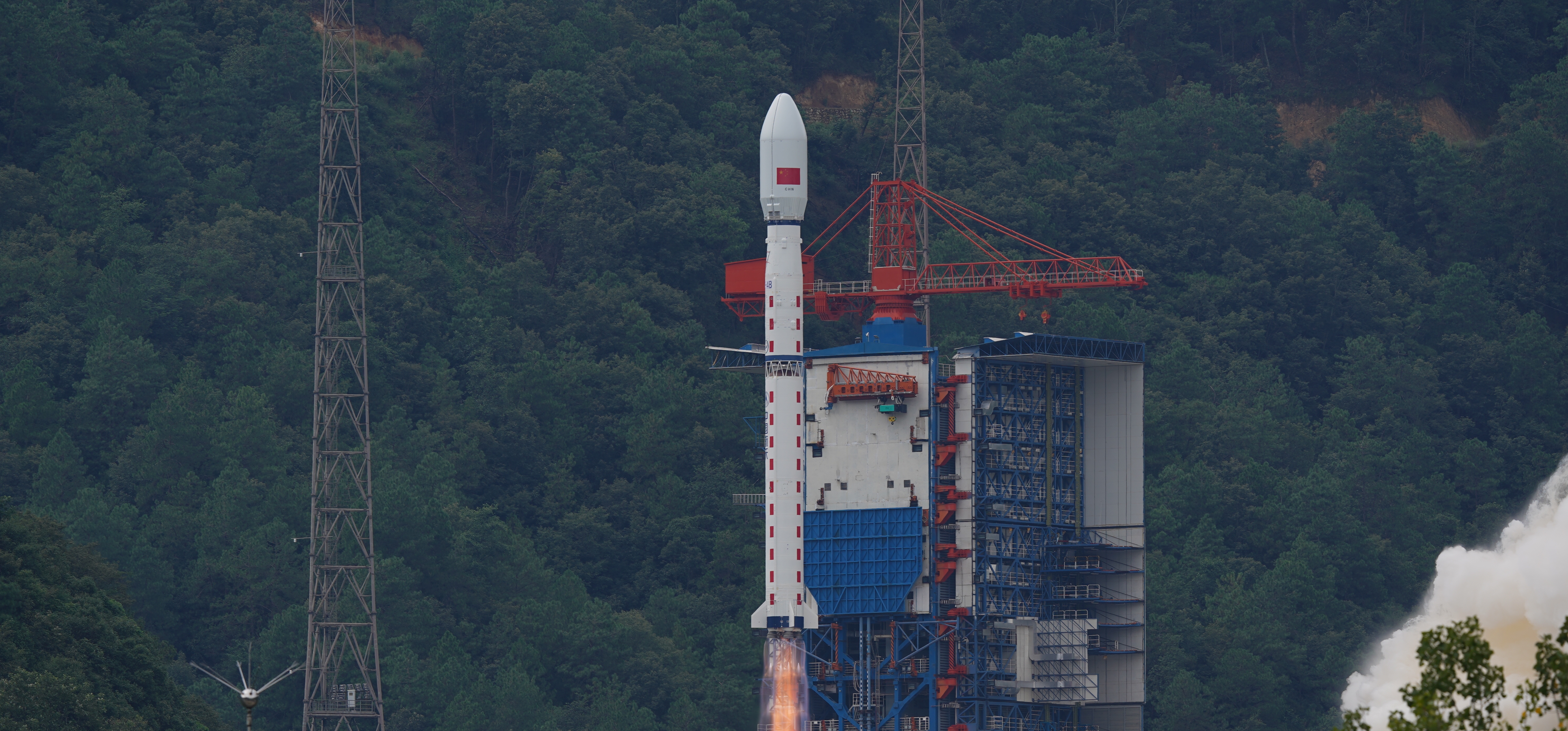
Long March 4B | Shijian 6 Group 05
China Aerospace Science and Technology Corporation | ChinaJiuquan Satellite Launch Center, People's Republic of China
Dec. 10, 2021, 12:11 a.m.
Status: Launch Successful
Mission:
The SJ 6 (Shi Jian 6) series consisted of pairs of technology satellites, which were reported to be used to probe the space environment, radiation and its effects, record space physical environment parameters, and conduct other related space experiments.
Sun-Synchronous Orbit