Previous Spaceflight Launches
Filter by Agency, Locations or Vehicles
Show All Launches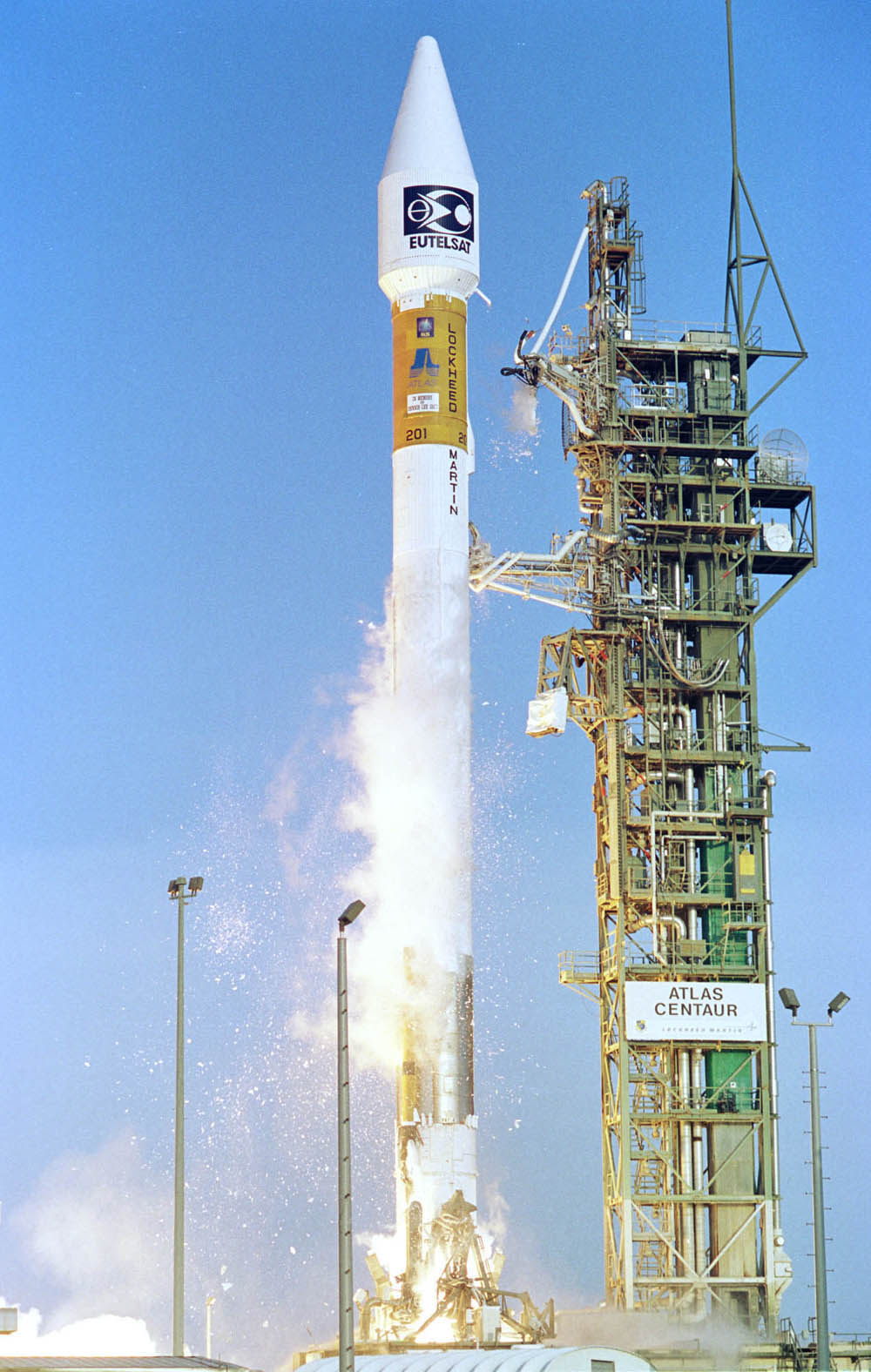
Atlas | Asiasat 4
Lockheed Martin | United States of AmericaCape Canaveral SFS, FL, USA
April 12, 2003, 12:47 a.m.
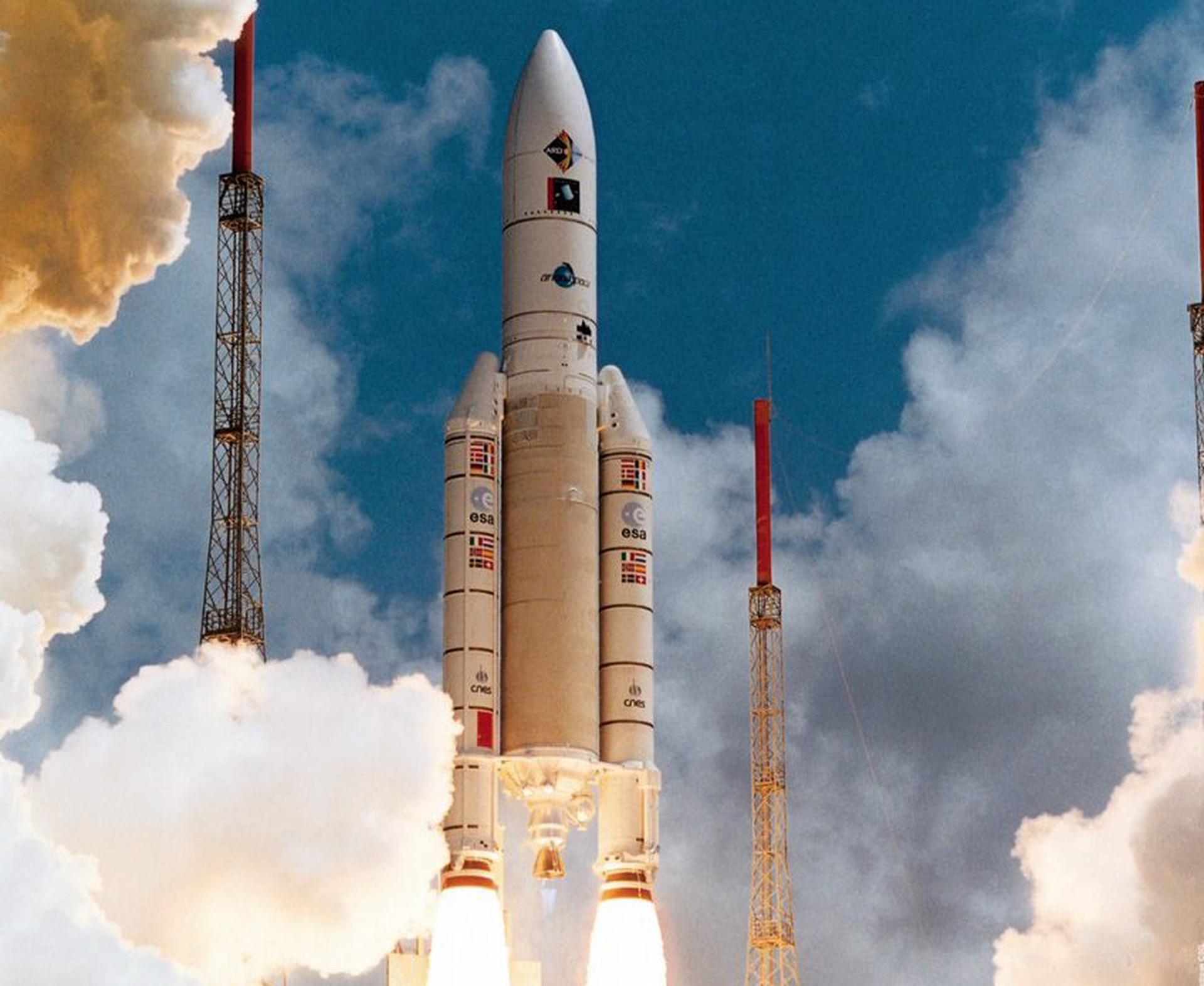
Ariane 5 G | INSAT-3A & Galaxy 12
ArianeGroup | FranceGuiana Space Centre, French Guiana
April 9, 2003, 10:52 p.m.
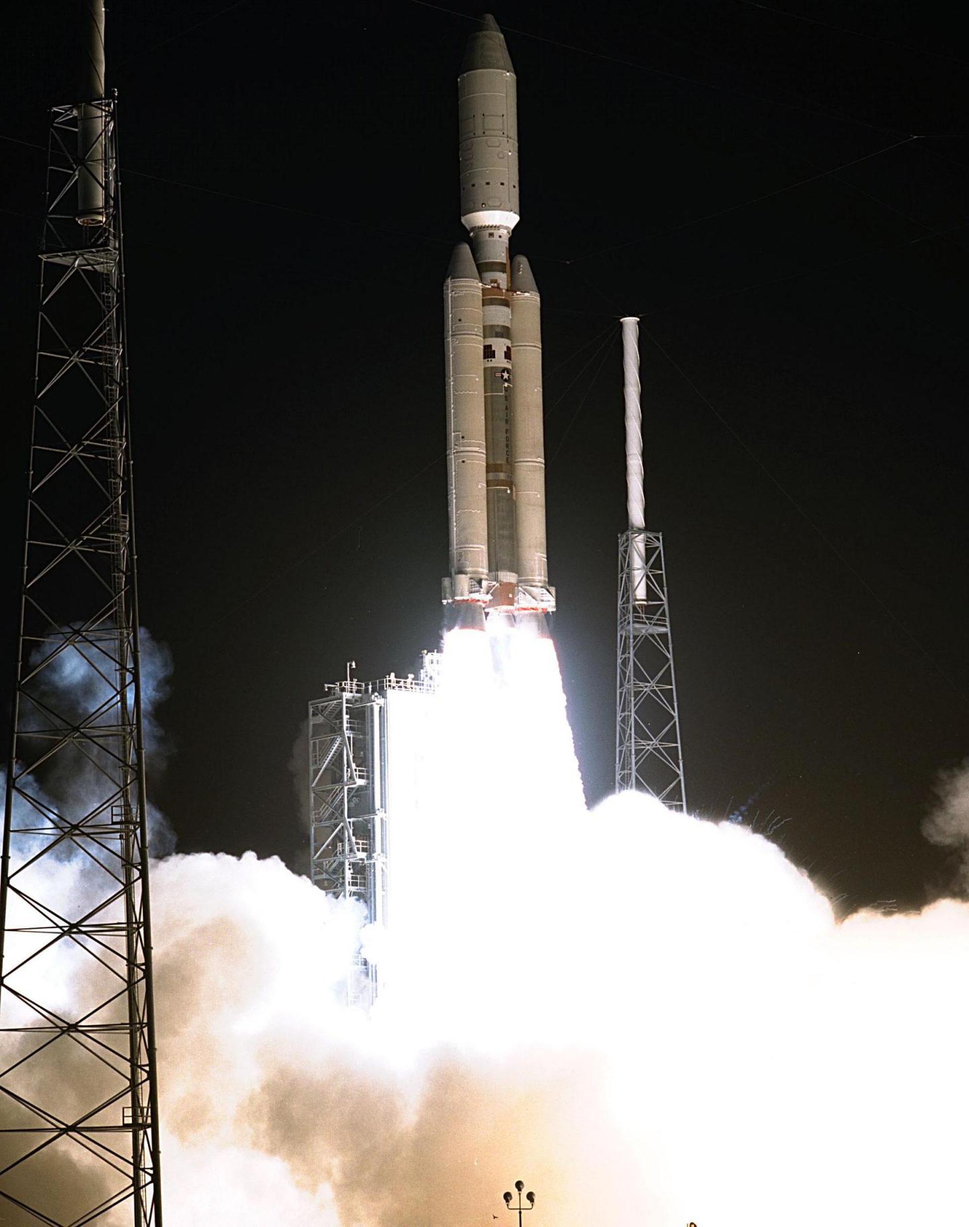
Titan IVB | Milstar 6
Lockheed Martin | United States of AmericaCape Canaveral SFS, FL, USA
April 8, 2003, 1:43 p.m.

Molniya-M | Molniya-1T 92
Russian Space Forces | RussiaPlesetsk Cosmodrome, Russian Federation
April 2, 2003, 1:53 a.m.

Delta II | GPS IIR-9
United Launch Alliance | United States of AmericaCape Canaveral SFS, FL, USA
March 31, 2003, 10:09 p.m.
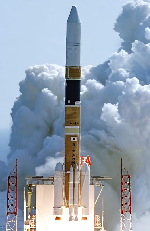
H-IIA 2024 | IGS Radar 1 & IGS Optical 1
Mitsubishi Heavy Industries | JapanTanegashima Space Center, Japan
March 28, 2003, 1:27 a.m.
Status: Launch Successful
Mission:
The IGS Radar 1 & Optical 1 (Intelligence Gathering Satellite) are Japanese radar and optical reconnaissance satellites. The satellites are operated by the Cabinet Satellite Information Center. The satellites serve both Japan's national defense and civil natural disaster monitoring.
Sun-Synchronous Orbit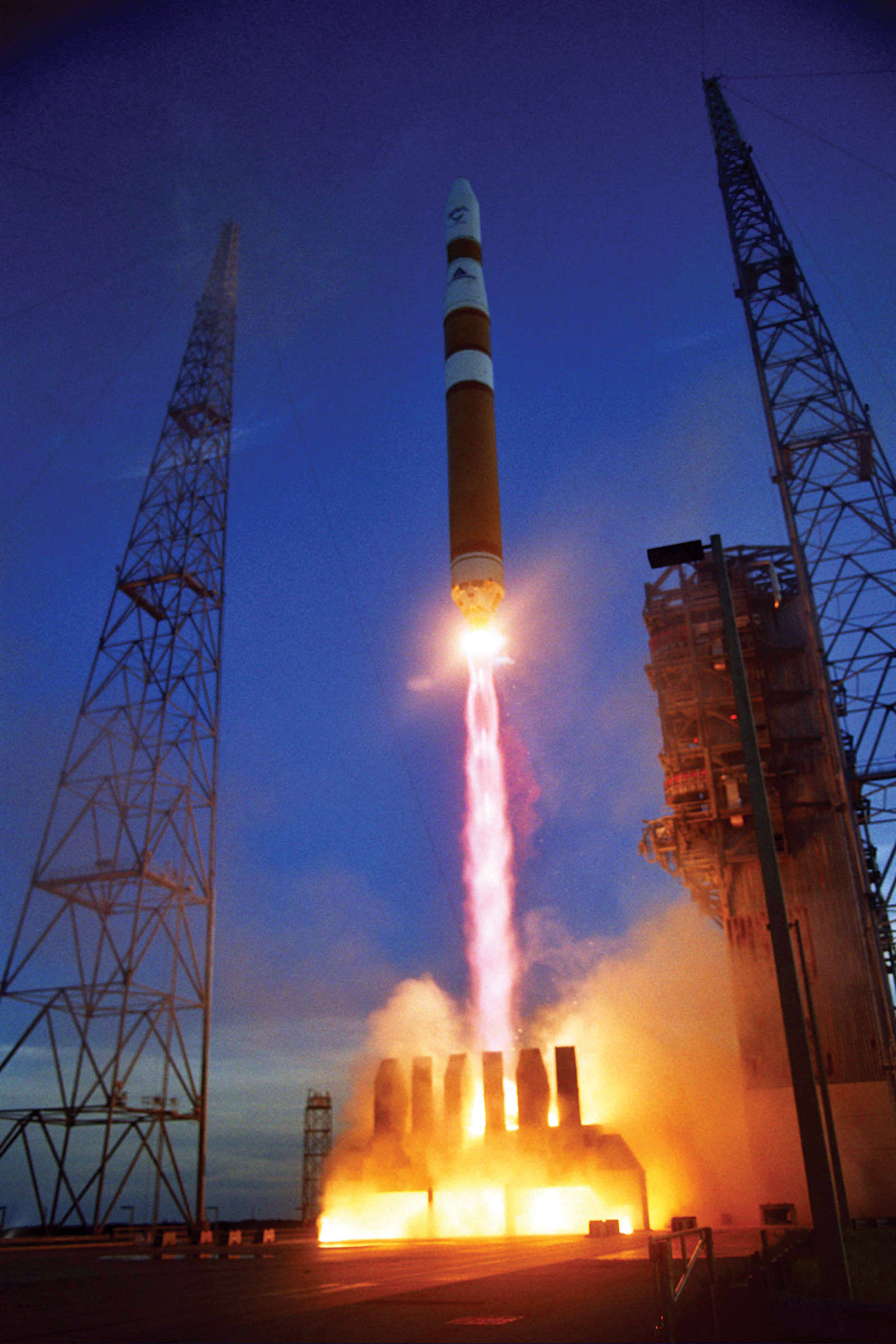
Delta IV M | DSCS III A-3
United Launch Alliance | United States of AmericaCape Canaveral SFS, FL, USA
March 11, 2003, 12:59 a.m.
Status: Launch Successful
Mission:
The U.S. Air Force Space Command operates 10 Phase III DSCS satellites providing defense officials and battlefield commanders secure voice and high rate data communications. The DSCS III system also transmits space operations and early warning data to various systems and users.
Geostationary Transfer Orbit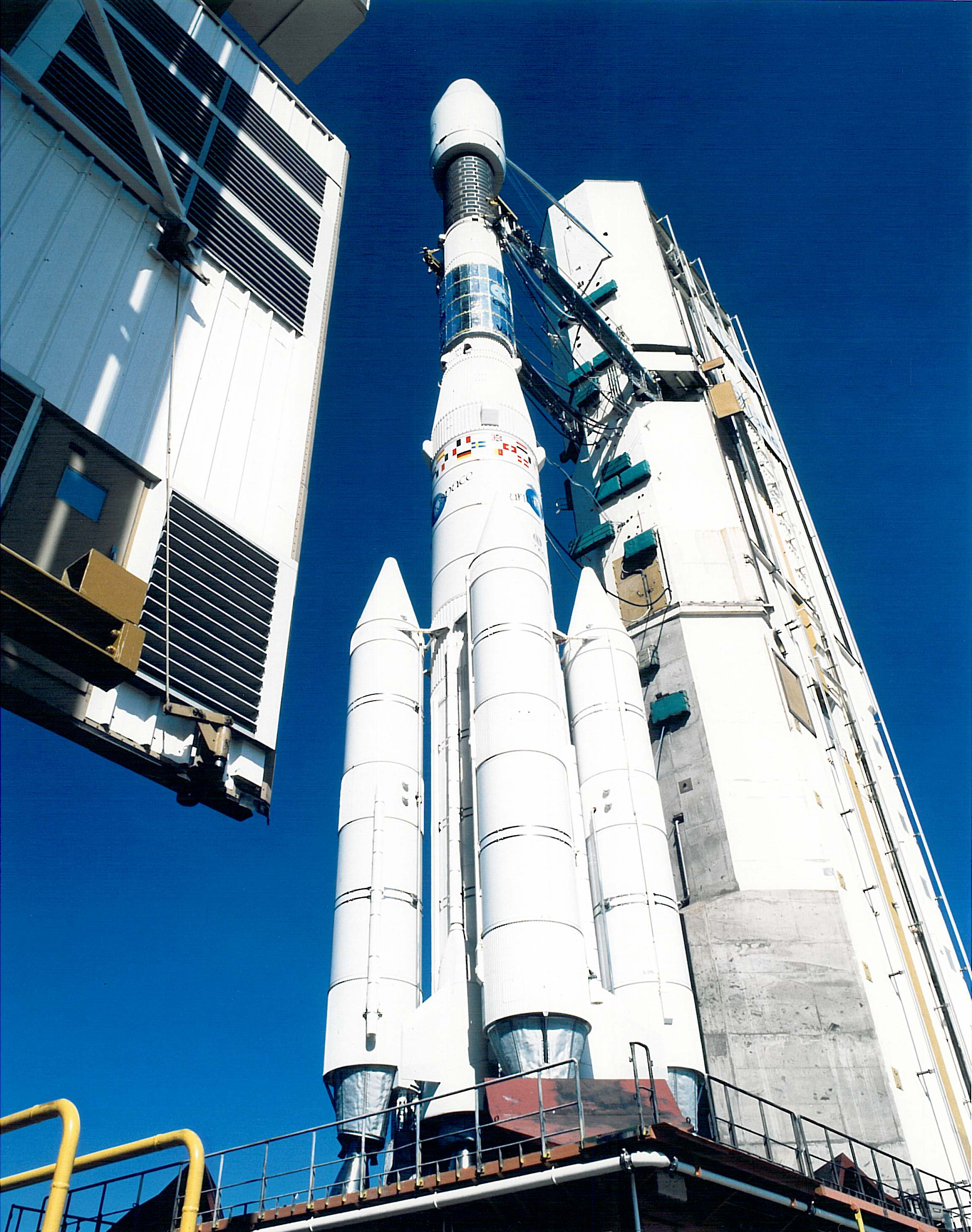
Ariane 44L | INTELSAT 907
Aérospatiale | FranceGuiana Space Centre, French Guiana
Feb. 15, 2003, 7 a.m.

Soyuz U | Progress M-47
Russian Federal Space Agency (ROSCOSMOS) | RussiaBaikonur Cosmodrome, Republic of Kazakhstan
Feb. 2, 2003, 12:59 p.m.
Delta II | GPS IIR-8
United Launch Alliance | United States of AmericaCape Canaveral SFS, FL, USA
Jan. 29, 2003, 6:06 p.m.
Status: Launch Successful
Mission:
USA-166, also known as GPS IIR-8 and GPS SVN-56, is an American navigation satellite which forms part of the Global Positioning System. It was the eighth Block IIR GPS satellite to be launched, out of thirteen in the original configuration, and twenty one overall.
Medium Earth Orbit
