Previous Spaceflight Launches

Filter by Agency, Locations or Vehicles

Show All Launches

Full Launch History

View all launches available - including launches from the past and utilize powerful search filters.

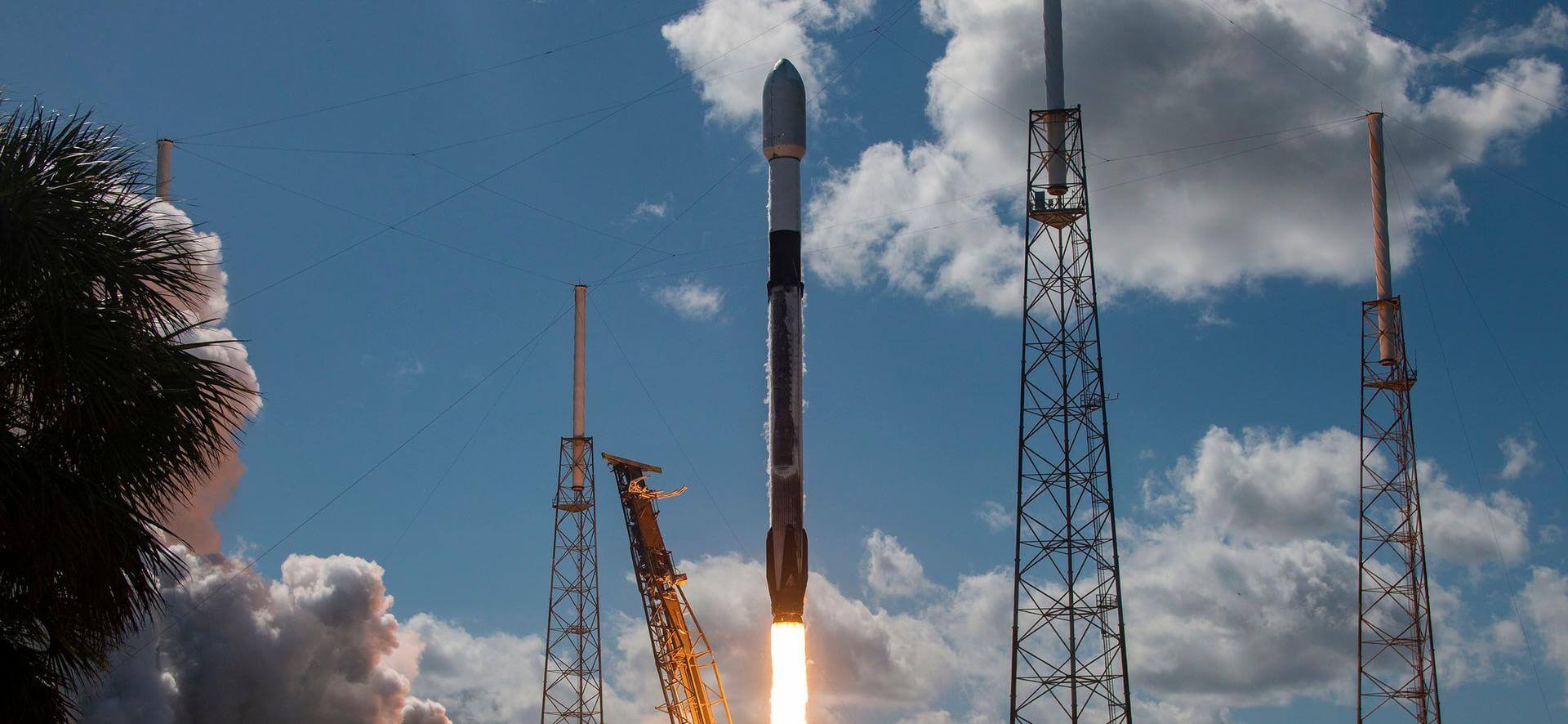
Falcon 9 Block 5 | Starlink 15

SpaceX | United States of America
Cape Canaveral SFS, FL, USA
Nov. 25, 2020, 2:13 a.m.
Status: Launch Successful
Mission:

A batch of 60 satellites for Starlink mega-constellation - SpaceX's project for space-based Internet communication system.

Low Earth Orbit B1049 - Flight Proven ( ) Of Course I Still Love You
Explore Share

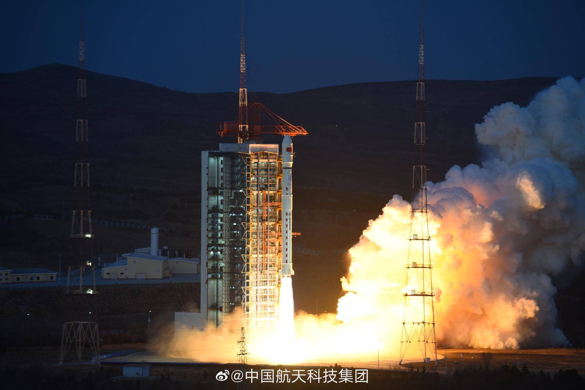
Long March 5 | Chang'e 5

China Aerospace Science and Technology Corporation | China
Wenchang Space Launch Site, People's Republic of China
Nov. 23, 2020, 8:30 p.m.
Status: Launch Successful
Mission:

Chang'e 5 is China's robotic lunar sample return mission, which is set to bring back at least 2 kg of lunar soils and rock samples. The probe will perform a soft landing on the Moon, then rendezvous and dock with the return module in lunar orbit and fly back to Earth.

Lunar Orbit
Explore Share

Falcon 9 Block 5 | Sentinel-6 Michael Freilich

SpaceX | United States of America
Vandenberg SFB, CA, USA
Nov. 21, 2020, 5:17 p.m.
Status: Launch Successful
Mission:

The Sentinel-6 Michael Freilich and Sentinel-6B make up the Sentinel-6 mission, also known as Jason Continuity of Service (Jason-CS), which is a partnership between NASA, NOAA, ESA, and EUMETSAT. This mission continues the long-term global sea surface height data record begun by first Jason satellites in 1992. Named after former NASA Earth Science Division Director Michael Freilich, Sentinel-6 Michail Freilich will provide altimeter data necessary for ocean climate monitoring, ocean modelling and numerical ocean prediction, weather forecasting, marine meteorology, coastal altimetry and modelling. A secondary objective of the mission is to collect high-resolution vertical profiles of temperature, using the Global Navigation Satellite System (GNSS) Radio-Occultation sounding technique, to assess temperature changes in the troposphere and stratosphere and to support numerical weather prediction. Sentinel-6 Michael Freilich is to operate in a highly-inclined circular orbit at an altitude of 1336 km, with an operational mission lasting 5 years. Near-identical Sentinel-6B is planned to follow-up shortly after.

Low Earth Orbit #SeeingTheSeas B1063 - Maiden Flight Landing Zone 4
Explore Share

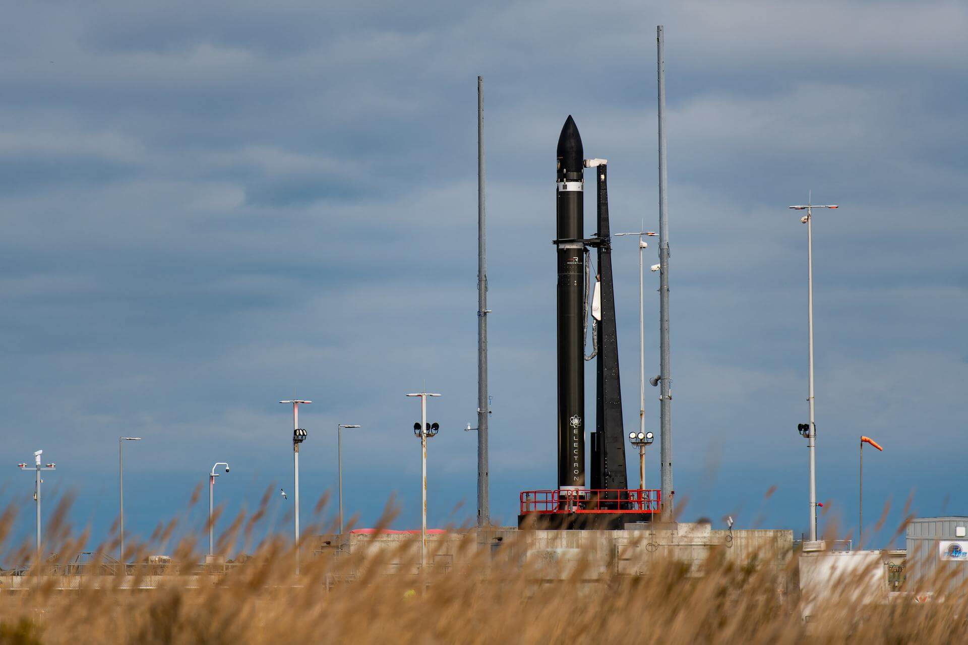
Electron | Return to Sender (Rideshare)

Rocket Lab | United States of America
Rocket Lab Launch Complex 1, Mahia Peninsula, New Zealand
Nov. 20, 2020, 2:20 a.m.
Status: Launch Successful
Mission:

"Return to Sender" will loft 30 satellites to a sun-synchronous orbit at 500 km altitude for a range of customers, including TriSept, Unseenlabs, Swarm, Te Pūnaha Ātea - Auckland Space Institute, and global gaming software company Valve. The satellites span a range of operations, from TriSept’s tech demonstration of new tether systems designed to accelerate spacecraft reentry and reduce orbital debris, through to the next generation of maritime surveillance satellites for Unseenlabs, as well as communications satellites for Swarm. The mission will also deploy New Zealand’s first student-built satellite, the APSS-1 satellite for Te Pūnaha Ātea - Auckland Space Institute at The University of Auckland. The DRAGRACER mission will test the effectiveness of new tether technologies designed to accelerate spacecraft reentry and reduce orbital debris at the conclusion of space missions. TriSept has completed the integration of a pair of qualified Millennium Space Systems 6U small satellites, one featuring the tether drag device and one without. The controlled spacecraft should deorbit in approximately 45 days, while the second spacecraft is expected to remain in orbit for seven to nine years. BRO-2 and BRO-3 are the second and third satellites in French company Unseenlabs’ planned constellation of about 20 satellites dedicated to maritime surveillance. Swarm will launch the latest 24 1/4U SpaceBEE satellites to continue building out its planned constellation of 150 satellites to provide affordable satellite communications services to IoT devices in remote regions around the world. The student-built Waka Āmiorangi Aotearoa APSS-1 satellite is designed to monitor electrical activity in Earth’s upper atmosphere to test whether ionospheric disturbances can predict earthquakes. Extra payload on this flight is a 150 mm 3D printed Half-Life Gnome Chompski. Created for Valve Software's co-founder Gabe Newell by design studio Weta Workshop, it serves as an homage to the innovation and creativity of gamers worldwide, and also aims to test and qualify a novel 3D printing technique that could be employed for future spacecraft components. Gnome will remain attached to the Kick Stage and will burn up on reentry. Besides payloads, this flight will also serve as a test of Electron's reusability. Rocket Lab will attempt to bring Electron’s first stage back to Earth under a parachute system for a controlled water landing before collection by a recovery vessel.

Sun-Synchronous Orbit #ReturnToSender 16 - Maiden Flight South Pacific
Explore Share

Vega | SEOSAT-Ingenio & Taranis

Avio S.p.A | Italy
Guiana Space Centre, French Guiana
Nov. 17, 2020, 1:52 a.m.
Status: Launch Failure
Mission:

SEOSAT-Ingenio is a high-resolution optical imaging mission of Spain - the flagship mission of the Spanish space strategic plan. Its mission is devoted to ensure an even coverage of the areas of national interest, providing a large operational capability in the capture of high-resolution multi-spectral land optical images for numerous user groups, as well as supporting and optimizing the development in Spain of teledetection-based applications in Spain. The overall mission objective is to provide information for applications in cartography, land use, urban management, water management, environmental monitoring, risk management and security. TARANIS (Tool for the Analysis of RAdiation from lightNIngand Sprites), the Celtic god of thunder and lightning, is the first satellite designed to observe luminous, radiative and electromagnetic phenomena occurring at altitudes of 20 to 100 km over thunderstorms. Discovered 20 years ago, such transient luminous events (TLEs) such as red sprites, blue jets, elves, sprite halos, etc. remain shrouded in mystery. They are sometimes accompanied by terrestrial gamma-ray flashes (TGFs). The TARANIS microsatellite will fly over thousands of TLEs and TGFs for at least four years and will be capable of detecting these events and recording their luminous and radiative signatures at high resolution, as well as the electromagnetic perturbations they set off in Earth’s upper atmosphere. The payload includes numerous sensors to observe the TLEs and to perform in-situ measurements of perturbations caused on the local plasma (fields, waves and particles).

Sun-Synchronous Orbit #SEOSATIngenio
Explore Share

Falcon 9 Block 5 | Crew-1

SpaceX | United States of America
Kennedy Space Center, FL, USA
Nov. 16, 2020, 12:27 a.m.
Status: Launch Successful
Mission:

SpaceX Crew-1 is the first crewed operational flight of a Crew Dragon spacecraft to the International Space Station as part of NASA's Commercial Crew Program.

Low Earth Orbit #LaunchAmerica B1061 - Maiden Flight Just Read the Instructions
Explore Share

Atlas V 531 | NROL-101

United Launch Alliance | United States of America
Cape Canaveral SFS, FL, USA
Nov. 13, 2020, 10:32 p.m.
Status: Launch Successful
Mission:

Classified payload for the U.S. National Reconnaissance Office.

Medium Earth Orbit #NROL101
Explore Share

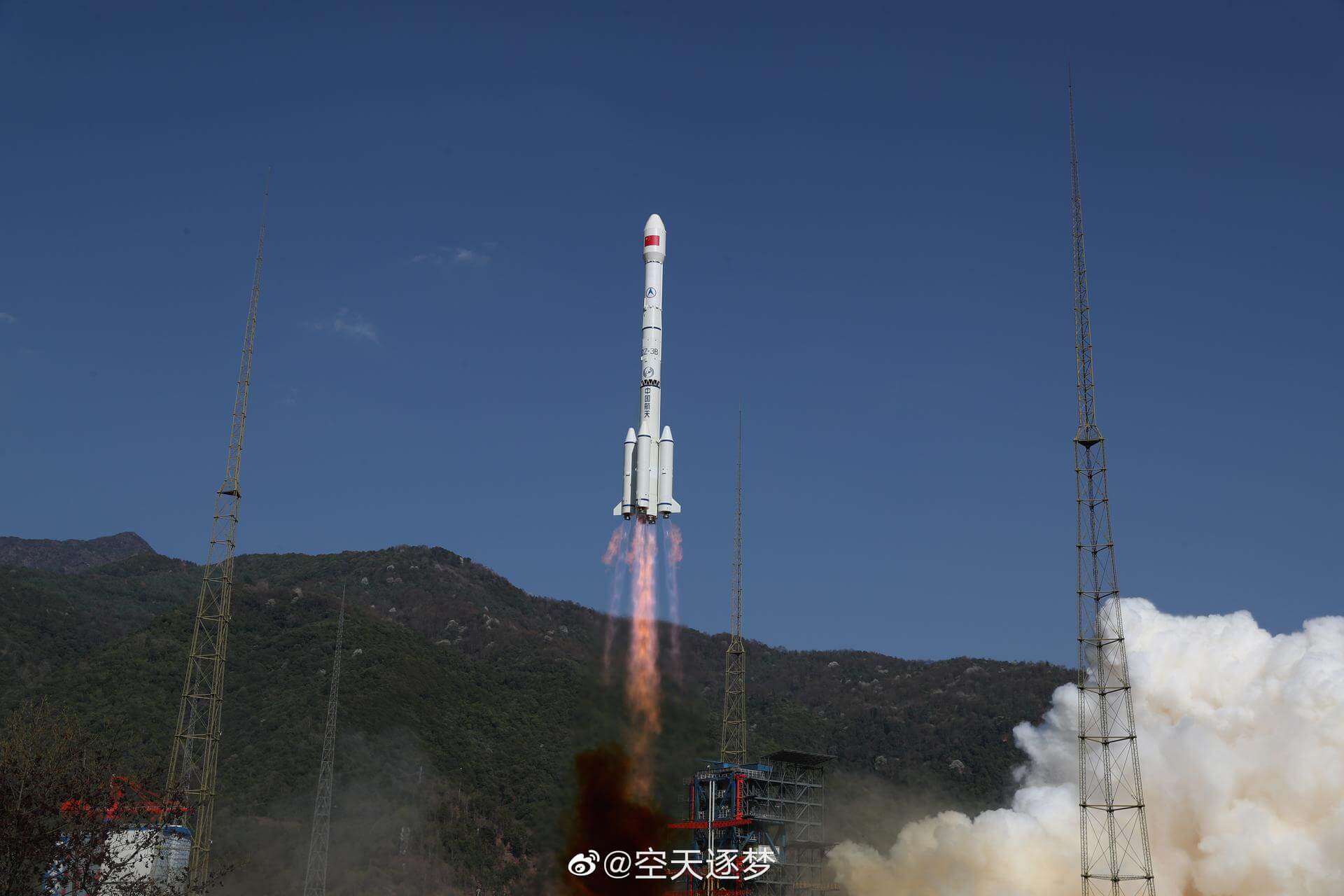
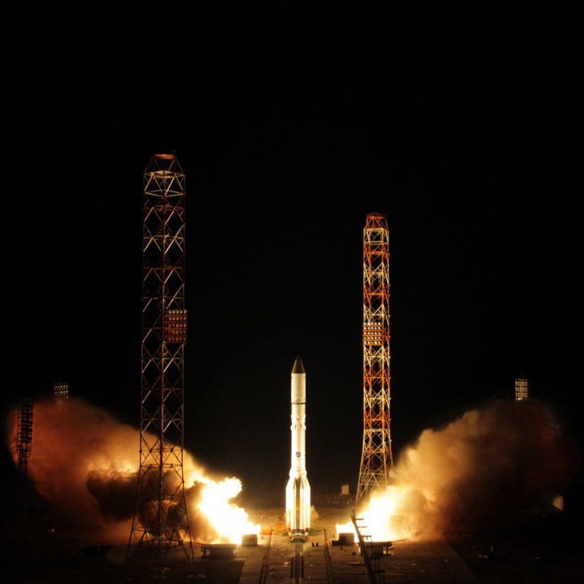
Long March 3B | Tiantong-1-02

China Aerospace Science and Technology Corporation | China
Xichang Satellite Launch Center, People's Republic of China
Nov. 12, 2020, 3:59 p.m.
Status: Launch Successful
Mission:

Designed by the CAST Institute (China Academy of Space Technology), a subsidiary of the Chinese aerospace group CASC and specialized in spacecraft design, the Tiantong-1 02 satellite will be operated by China Satellite Communications Co. Ltd, another CASC subsidiary which owns about ten communication satellites such as the ChinaStar and APStar. Tiantong-1 02 is the second satellite of China's first mobile communication network. It uses a Chinese DFH-4 satellite platform, and, according to its manufacturer CAST, has the highest payload mass utilization rate compared to other satellites of the same family. The project was launched in 2010 following the 2008 earthquake in Sichuan, where almost all ground communication networks were paralyzed. China had no mobile communication satellites at the time, so it had to lease services from foreign countries, such as Inmarsat in Europe, for its rescue teams.

Geostationary Transfer Orbit
Explore Share

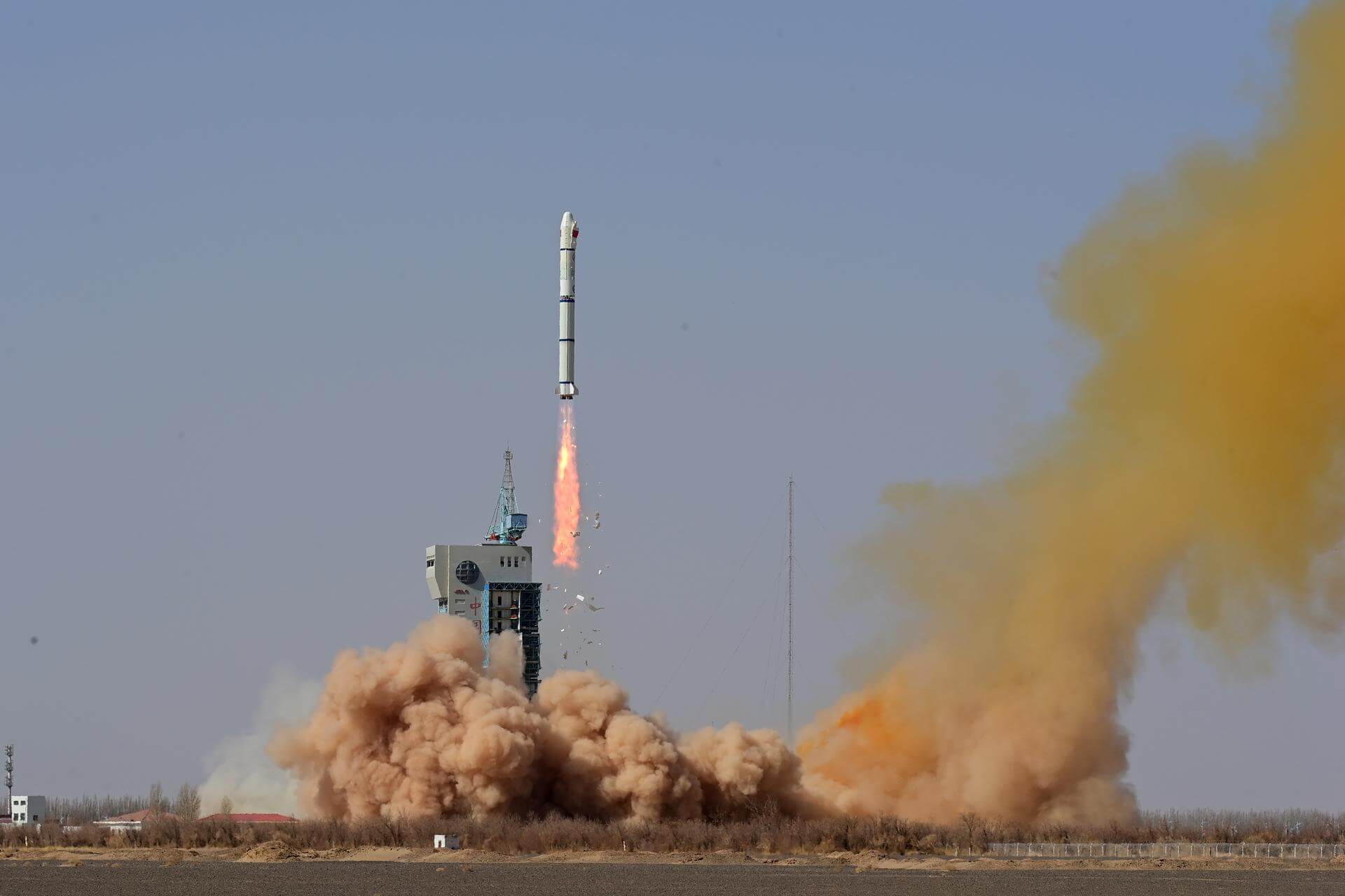
PSLV-DL | EOS-01 (RISAT-2BR2)

Indian Space Research Organization | India
Satish Dhawan Space Centre, India
Nov. 7, 2020, 9:41 a.m.
Status: Launch Successful
Mission:

EOS-1 (previously known as RISAT-2BR2) is an imaging mission of ISRO using an active SAR (Synthetic Aperture Radar) imager to provide continuity of service for RISAT-2. The objective of the RISAT mission is to use the all-weather as well as the day-and-night SAR observation capability in applications such as agriculture, forestry, soil moisture, geology, sea ice, coastal monitoring, object identification, and flood monitoring, but also for military surveillance. Flight also carries 9 rideshare payloads, including Lithuanian NanoAvionics R2 satellite - pathfinder for their M6P cubesat platform, 4 KSM satellites of Kleos Space for a maritime geolocation constellation, and 4 Lemur satellites for Spire.

Low Earth Orbit
Explore Share

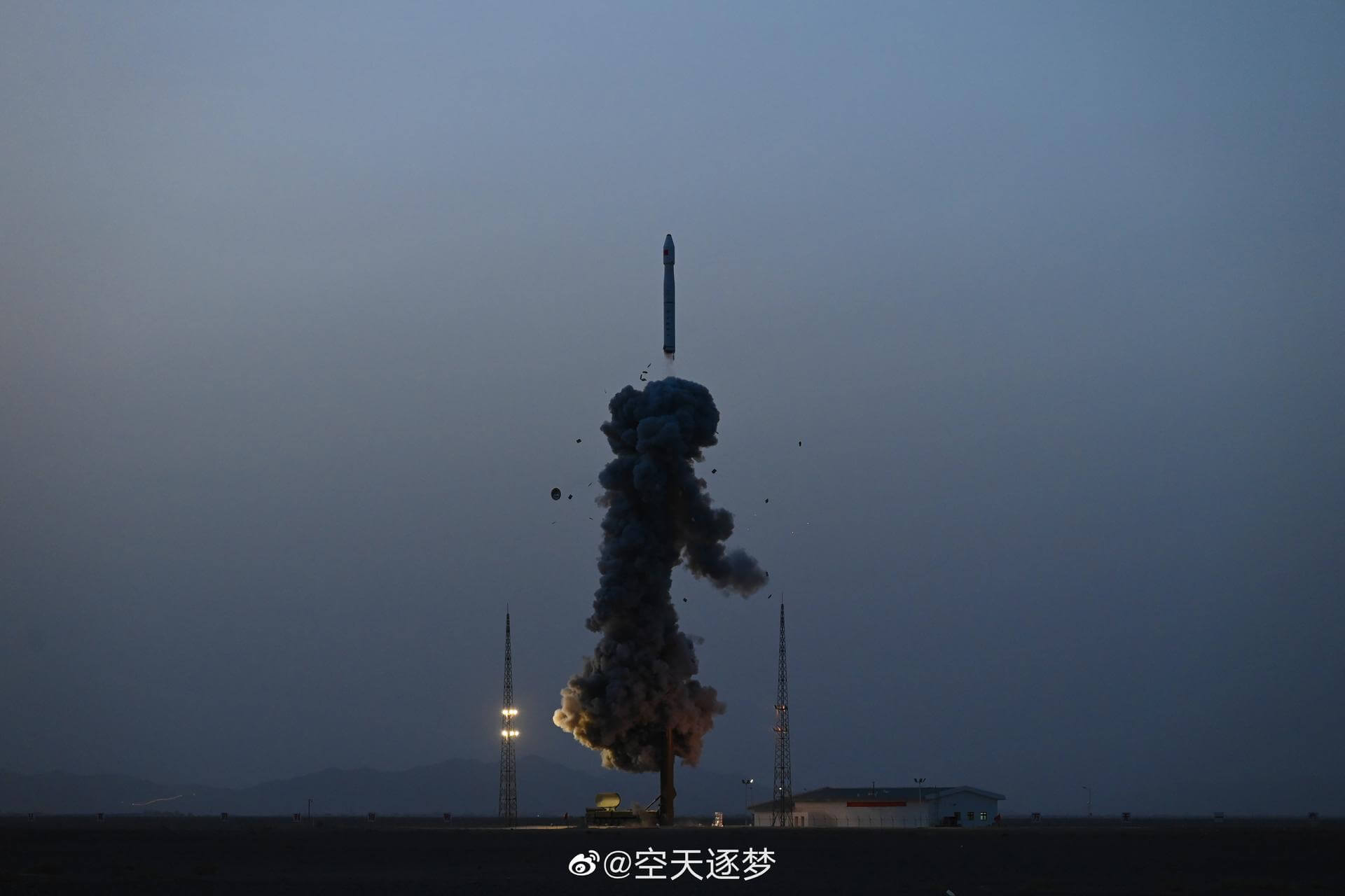
Ceres-1 | Tianqi-11

Galactic Energy | China
Jiuquan Satellite Launch Center, People's Republic of China
Nov. 7, 2020, 7:12 a.m.
Status: Launch Successful
Mission:

Tianqi (also transcribed Tiange) is a series of small Chinese experimental LEO comsats by Guodian Gaoke for IoT (Internet of Things) communications, which are also carrying a camera for educational purposes. Guodian Gaoke plans to operate an IoT constellation. The "Apocalypse Constellation" provides users with much-needed data collection and transmission services for terrestrial network coverage blind areas, which are widely used in marine, environmental protection, meteorological, forestry, geological, emergency, rescue and smart city industries to enhance China's global data network coverage and application capabilities are of strategic importance.

Sun-Synchronous Orbit
Explore Share