Previous Spaceflight Launches
Filter by Agency, Locations or Vehicles
Show All Launches
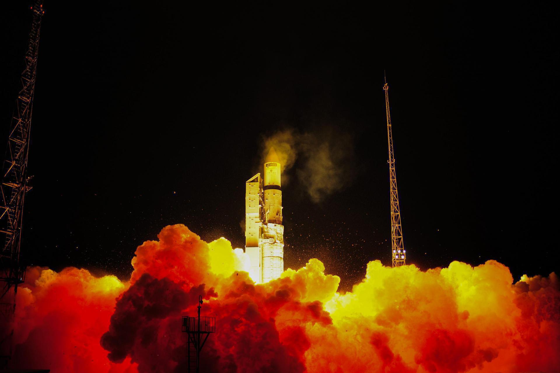
Ariane 5 ECA | Türksat 3A & Skynet 5C
ArianeGroup | FranceGuiana Space Centre, French Guiana
June 12, 2008, 10:05 p.m.
Status: Launch Successful
Mission:
Turksat 3A is a Turkish communications satellite operated by Turksat. Providing communication services to Turkey, Europe and the Middle East from geostationary orbit at 42 degrees East. Skynet 5C is a military commications satellite for the British Ministry of Defence and operated by Paradigm Secure Communications. It is located at 17.8 degrees West.
Geostationary Transfer Orbit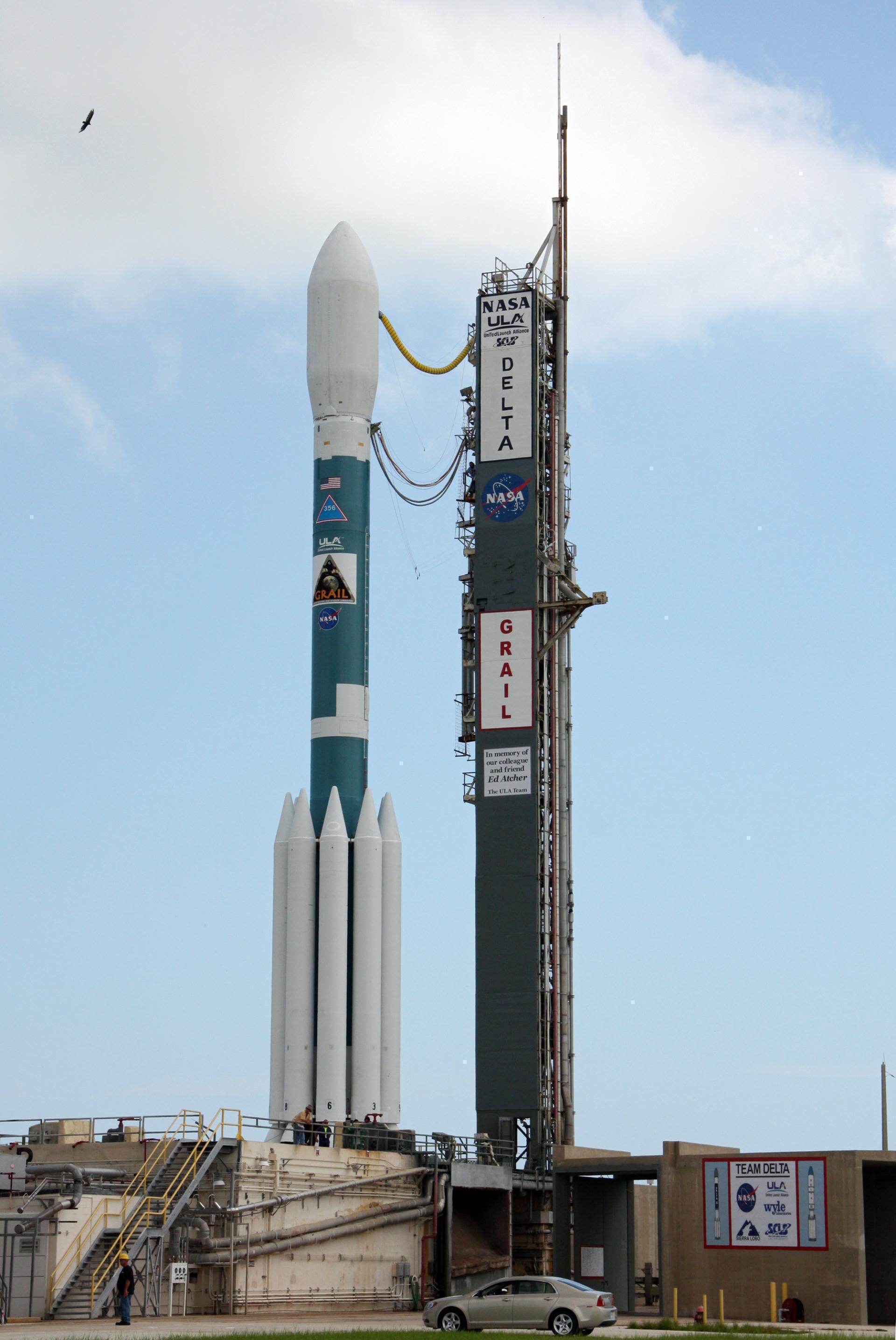
Delta II 7920H-10C | GLAST
United Launch Alliance | United States of AmericaCape Canaveral SFS, FL, USA
June 11, 2008, 4:05 p.m.
Status: Launch Successful
Mission:
A joint mission between NASA, USA Department of Energy and government agencies of France, Germany, Italy, Japan and Sweden. Its mission to suvery astrophysical and cosmological phenomena, also has instruments to study Gamma-ray bursts.
Low Earth Orbit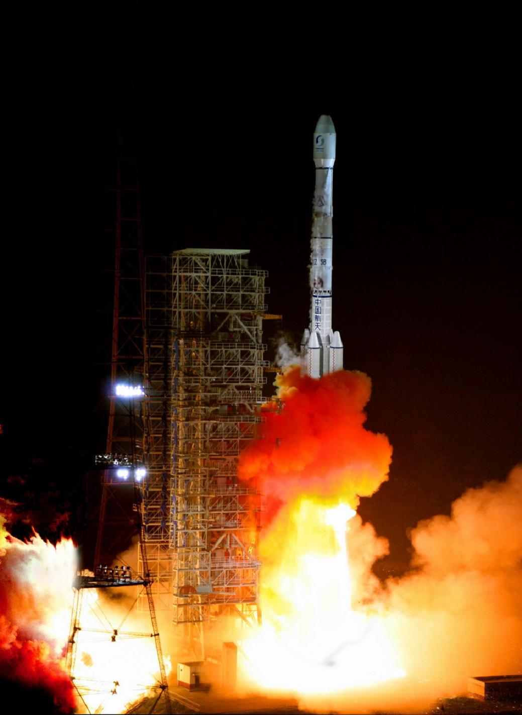
Long March 3B | Zhongxing 9
China Aerospace Science and Technology Corporation | ChinaXichang Satellite Launch Center, People's Republic of China
June 9, 2008, 12:15 p.m.

Space Shuttle Discovery / OV-103 | STS-124
National Aeronautics and Space Administration | United States of AmericaKennedy Space Center, FL, USA
May 31, 2008, 9:02 p.m.
Status: Launch Successful
Mission:
STS-124 was a Space Shuttle mission, flown by Space Shuttle Discovery to the International Space Station. Discovery launched on 31 May 2008 at 17:02 EDT, moved from an earlier scheduled launch date of 25 May 2008, and landed safely at the Kennedy Space Center's Shuttle Landing Facility, at 11:15 EDT on 14 June 2008.
Low Earth Orbit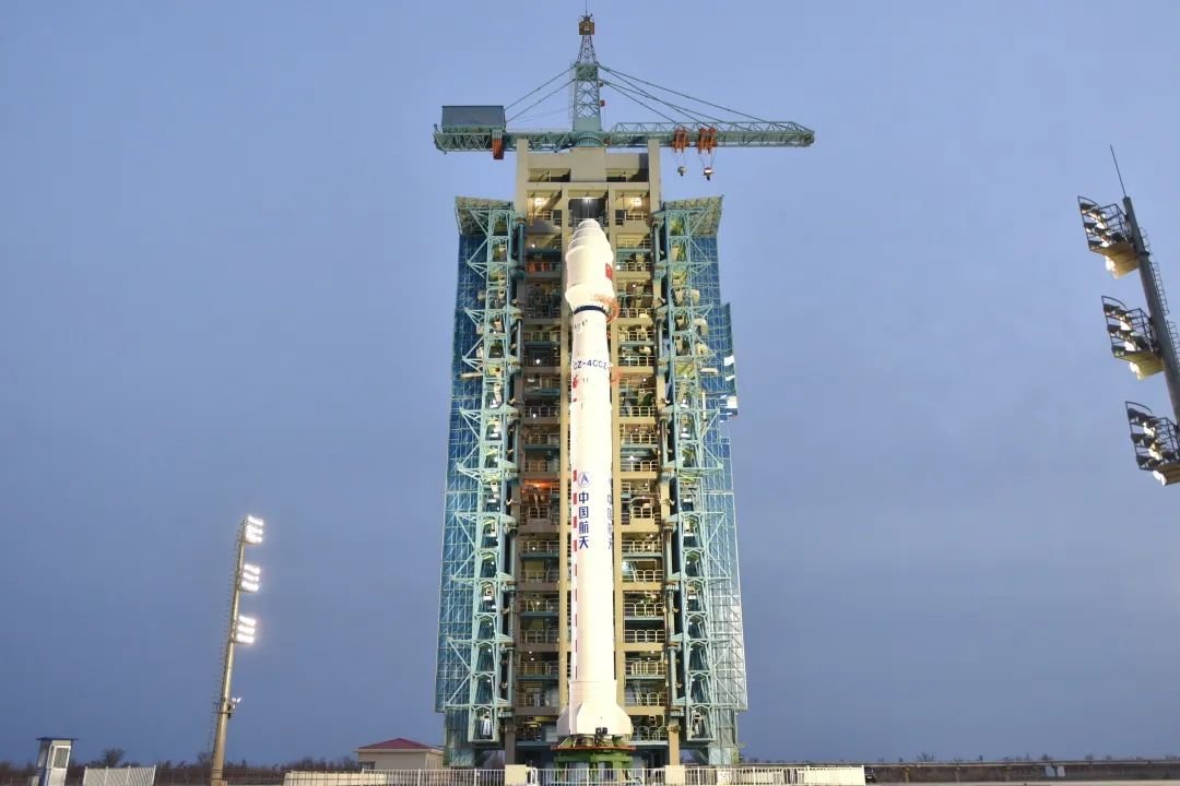
Long March 4C | Feng Yun 3A
China Aerospace Science and Technology Corporation | ChinaTaiyuan Satellite Launch Center, People's Republic of China
May 27, 2008, 3:02 a.m.
Rokot / Briz-KM | Strela-3 137 to 139
Russian Aerospace Defence Forces | RussiaPlesetsk Cosmodrome, Russian Federation
May 23, 2008, 3:20 p.m.

Zenit | Galaxy 18
Sea Launch | RussiaSea Launch
May 21, 2008, 9:43 a.m.

Soyuz U | Progress M-64
Russian Federal Space Agency (ROSCOSMOS) | RussiaBaikonur Cosmodrome, Republic of Kazakhstan
May 14, 2008, 8:22 p.m.
Zenit | Amos 3
Land Launch | RussiaBaikonur Cosmodrome, Republic of Kazakhstan
April 28, 2008, 5 a.m.
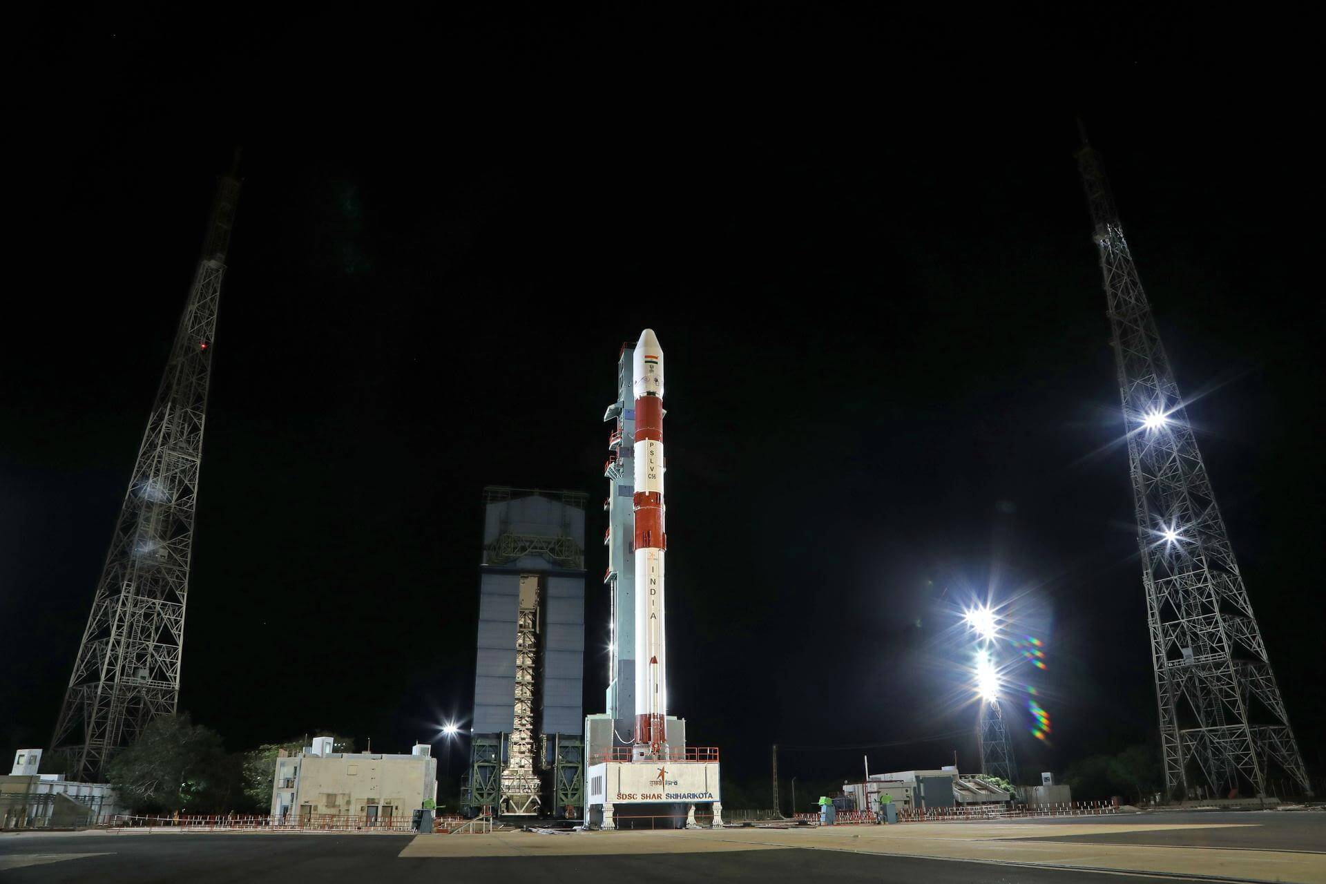
PSLV | Cartosat 2A
Indian Space Research Organization | IndiaSatish Dhawan Space Centre, India
April 28, 2008, 3:53 a.m.

