Upcoming Spaceflight Launches
Filter by Agency, Locations or Vehicles
Show All Launches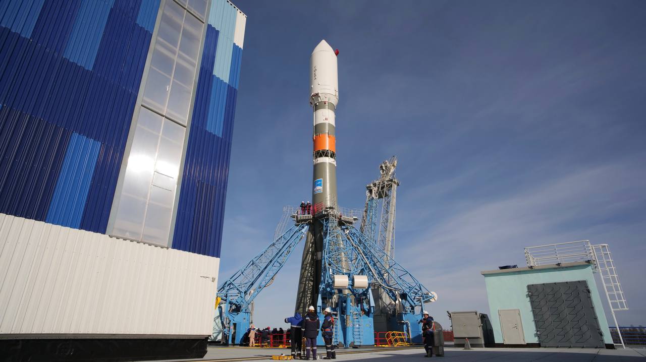
Soyuz 2.1b | 16 x Rassvet-3
Progress Rocket Space Center | RussiaPlesetsk Cosmodrome, Russian Federation
TBD April, 2026
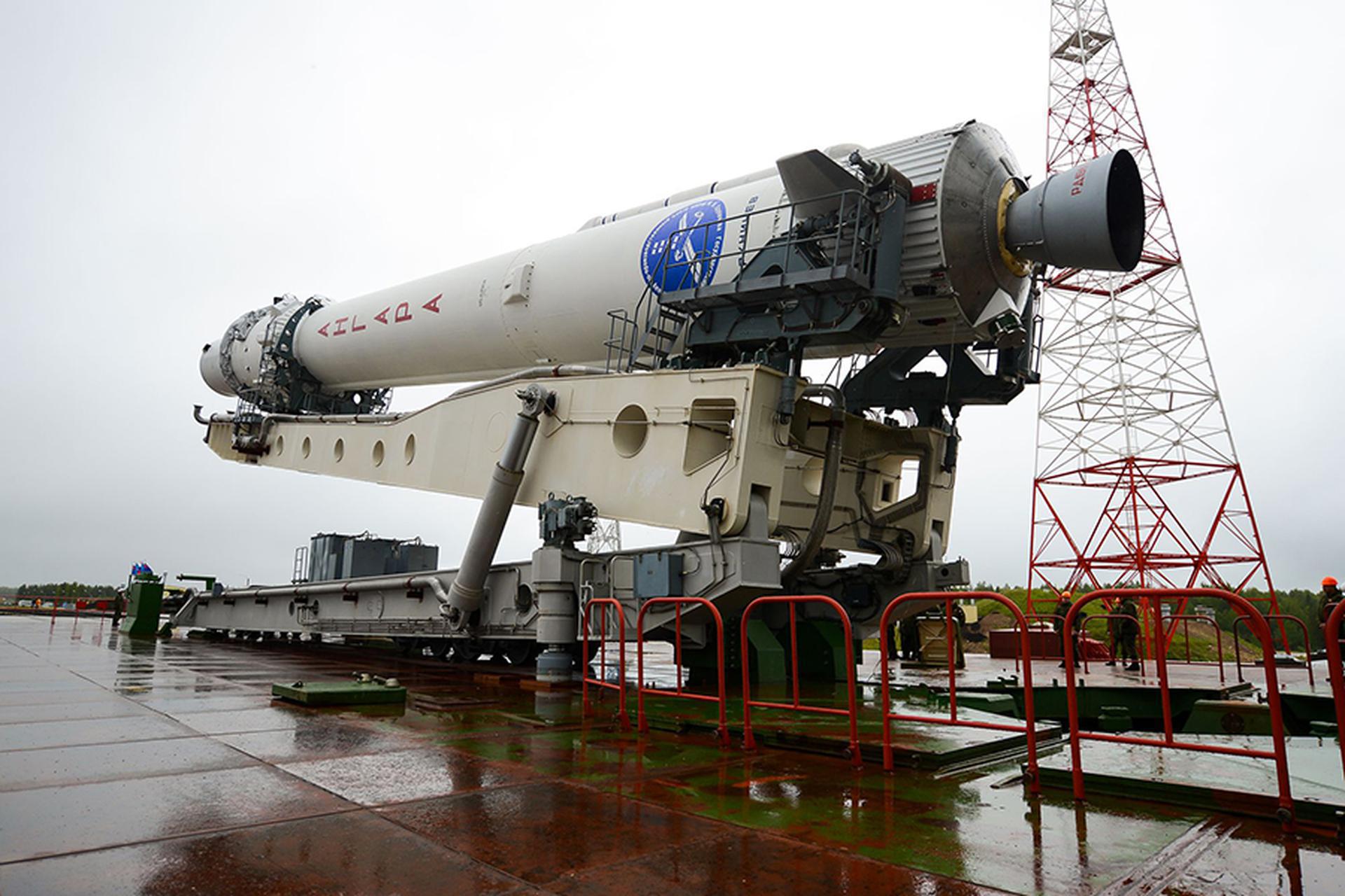
Angara 1.2 | Kosmos (Unknown Payload)
Khrunichev State Research and Production Space Center | RussiaPlesetsk Cosmodrome, Russian Federation
TBD April, 2026

Long March 10B | Demo Flight
China Aerospace Science and Technology Corporation | ChinaWenchang Space Launch Site, People's Republic of China
TBD April, 2026

Vega-C | Solar wind Magnetosphere Ionosphere Link Explorer (SMILE)
Avio S.p.A | ItalyGuiana Space Centre, French Guiana
TBD April, 2026
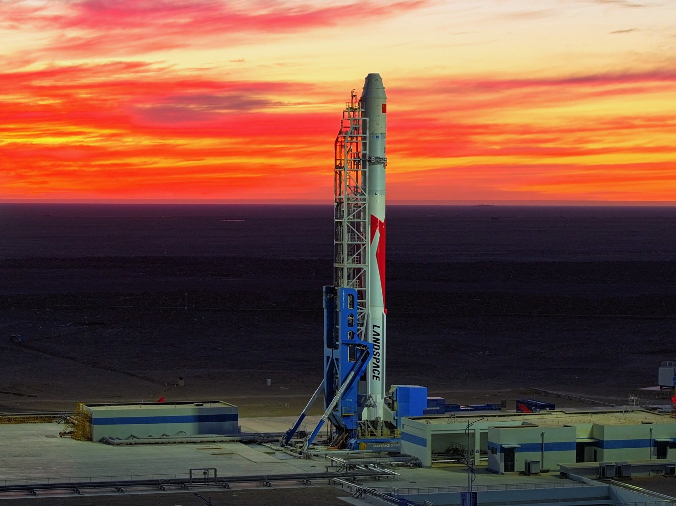
Zhuque-2E | Unknown Payload
LandSpace | ChinaJiuquan Satellite Launch Center, People's Republic of China
TBD April, 2026
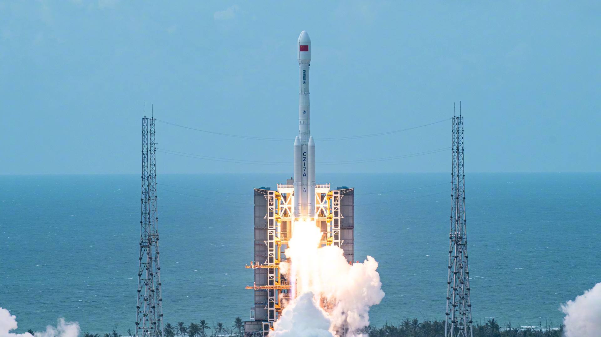
Long March 7A | Unknown Payload
China Aerospace Science and Technology Corporation | ChinaWenchang Space Launch Site, People's Republic of China
TBD April, 2026
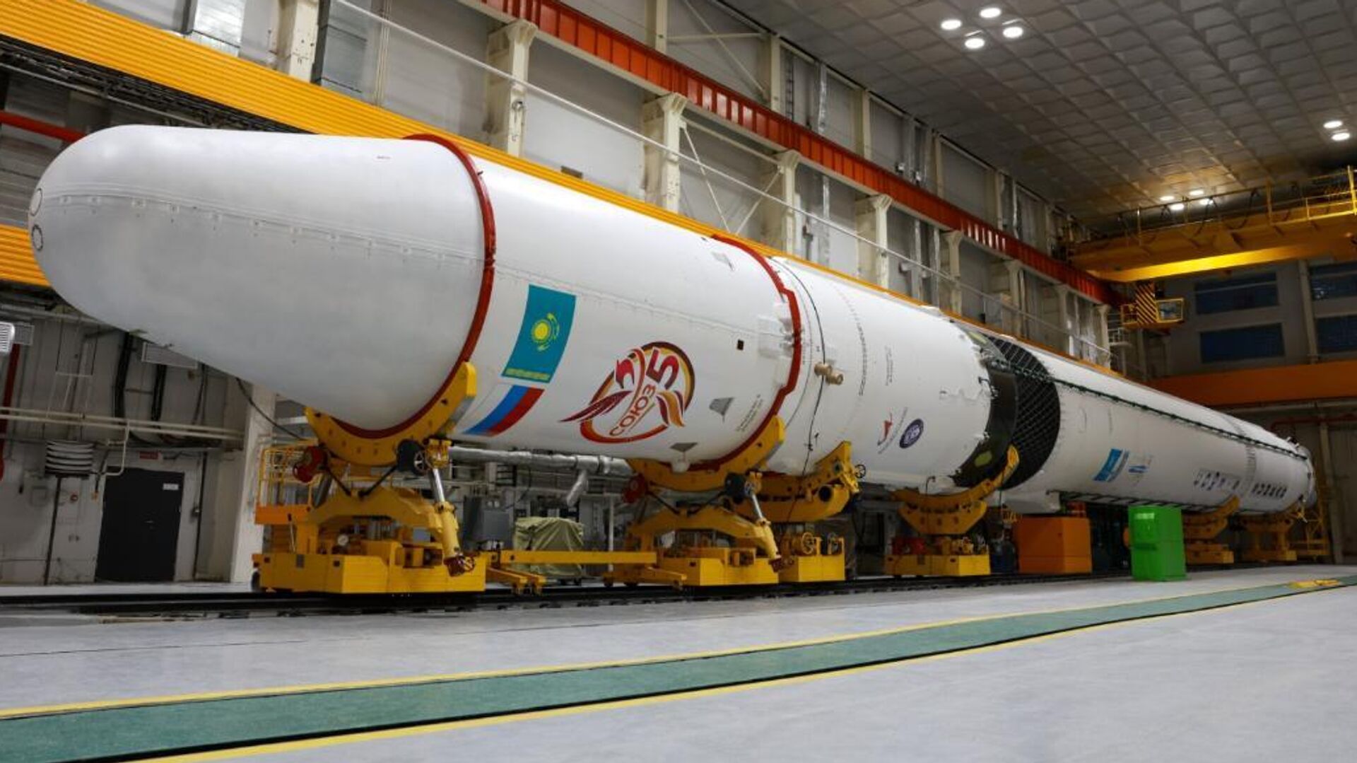
Soyuz-5 | Demo Flight
RKK Energiya | RussiaBaikonur Cosmodrome, Republic of Kazakhstan
TBD April, 2026

Falcon 9 Block 5 | Starlink Group 17-36
SpaceX | United States of AmericaVandenberg SFB, CA, USA
April 30, 2026, 2 a.m.
Falcon 9 Block 5 | Starlink Group 10-38
SpaceX | United States of AmericaCape Canaveral SFS, FL, USA
May 1, 2026, 5:33 p.m.
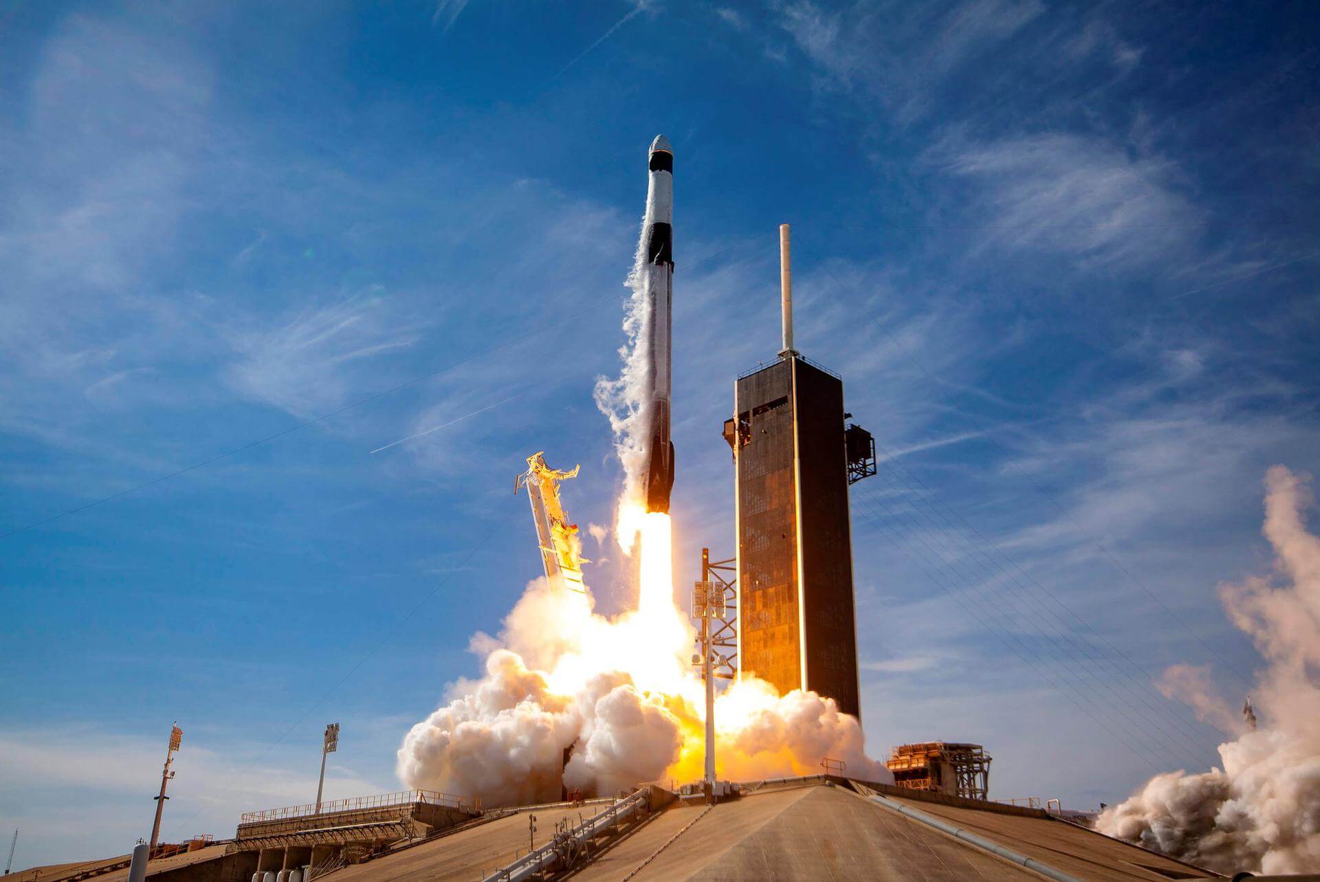
Falcon 9 Block 5 | Dragon CRS-2 SpX-34
SpaceX | United States of AmericaCape Canaveral SFS, FL, USA
May 12, 2026
Status: To Be Confirmed
Mission:
34th commercial resupply services mission to the International Space Station operated by SpaceX. The flight will be conducted under the second Commercial Resupply Services contract with NASA. Cargo Dragon 2 brings supplies and payloads, including critical materials to directly support science and research investigations that occur onboard the orbiting laboratory.
Low Earth OrbitElectron
Bubbles
Rocket Lab Launch Complex 2 (Launch Area 0 C) - Wallops Flight Facility, Virginia, USASub-orbital launch under Rocket Lab’s Hypersonic Accelerator Suborbital Test Electron (HASTE) program, details TBD.
Falcon 9
GPS III SV10
Space Launch Complex 40 - Cape Canaveral SFS, FL, USATenth of ten GPS III missions.
Falcon 9
Starlink Group 17-22
Space Launch Complex 4E - Vandenberg SFB, CA, USAA batch of 25 satellites for the Starlink mega-constellation - SpaceX's project for space-based Internet communication system.
New Glenn
BlueBird Block 2 #2
Launch Complex 36A - Cape Canaveral SFS, FL, USAAST SpaceMobile’s Block 2 BlueBird satellites are designed to deliver up to 10 times the bandwidth capacity of the BlueBird Block 1 satellites, requi…
Long March 4C
Daqi-2 (AEMS)
Launch Area 94 (SLS-2 / 603) - Jiuquan Satellite Launch Center, People's Republic of ChinaDaqi-2 (DQ-2), also known as the Atmospheric Environment Monitoring Satellite/AEMS, is the second of follow-on series of Chinese satellites to the GF…
Soyuz 2.1b/Volga
Kosmos (Unknown Payload)
43/4 (43R) - Plesetsk Cosmodrome, Russian FederationUnknown satellite(s) for the Russian military.
Falcon 9
Starlink Group 17-27
Space Launch Complex 4E - Vandenberg SFB, CA, USAA batch of 25 satellites for the Starlink mega-constellation - SpaceX's project for space-based Internet communication system.
Falcon 9
Starlink Group 10-24
Space Launch Complex 40 - Cape Canaveral SFS, FL, USAA batch of 29 satellites for the Starlink mega-constellation - SpaceX's project for space-based Internet communication system.
Kinetica 1
8 x Jilin-1
Launch Area 130 - Jiuquan Satellite Launch Center, People's Republic of China8 Earth observation satellites for the Jilin-1 commercial Earth observation satellites constellation: * High Resolution-07A 02-04 * High Resoluti…
Falcon 9
Cygnus CRS-2 NG-24 (S.S. Steven R. Nagel)
Space Launch Complex 40 - Cape Canaveral SFS, FL, USAThis is the 24th flight of the Orbital ATK's uncrewed resupply spacecraft Cygnus and its 23rd flight to the International Space Station under the Com…

